Earthquake SUNDA STRAIT, INDONESIA
Fri, 10 Aug 2007 13:17:55 GMT
Time18 years ago
Location
-6.7700, 104.9400
Depth
60.0 KM
Event Summary
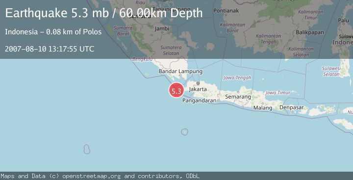
A 5.3 magnitude earthquake struck on SUNDA STRAIT, INDONESIA, at Fri, 10 Aug 2007 13:17:55 GMT. Depth: 60km. Reviewed by EMSC seismologists, this moderate quake occurred at a magnitude type of mb.
Magnitude
5.3
mb
Source
EMSC
Intensity
-
Agency Reports
1 Sources| Source | Magnitude | Depth | Time |
|---|---|---|---|
| EMSCPrimary | 5.3 | 60 km | 18 years ago |
Earthquake Details
AutomaticEvent IDemsc_EMSC_20070810_0000069
Tsunami PotentialNo
Magnitude Typemb
Nearest Places
- Pulau Waton24.6 km
- Legon Mandar24.6 km
- Ci Panaitan25.9 km
- Tanjung Waton25.9 km
- Pulau Karangjajar26.8 km
Comments
Join the discussion about this event.
Latest Earthquakes
2.4Mag
Sulawesi, Indonesia
Time9 minutes ago
Depth4.26 km
SourceBMKG
2.2Mag
Northern Sumatra, Indonesia
Time13 minutes ago
Depth8.25 km
SourceBMKG
2.5Mag
CRETE, GREECE
Time20 minutes ago
Depth17.50 km
SourceNOA (Automatic)
2.5Mag
Tarapaca, Chile
Time24 minutes ago
Depth112.55 km
SourceVYT (Automatic)
2.0Mag
ALBANIA
Time25 minutes ago
Depth15.00 km
SourceIGEO (Automatic)
Nearby Earthquakes
2.8Mag
SUNDA STRAIT, INDONESIA
Time1 month ago
Depth10.00 km
SourceBMKG (Automatic)
2.9Mag
Sunda Strait, Indonesia
Time3 weeks ago
Depth3.94 km
SourceBMKG (Automatic)
2.8Mag
SUNDA STRAIT, INDONESIA
Time1 month ago
Depth10.00 km
SourceBMKG (Automatic)
2.7Mag
Sunda Strait, Indonesia
Time6 days ago
Depth1.67 km
SourceBMKG
5.1Mag
SUNDA STRAIT, INDONESIA
Time15 years ago
Depth30.00 km
SourceEMSC (Automatic)