Earthquake KEP. TANIMBAR REGION, INDONESIA
Tue, 20 Jan 2026 04:35:50 GMT
Time0 months ago
Location
-6.2700, 131.7500
Depth
78.0 KM
Event Summary
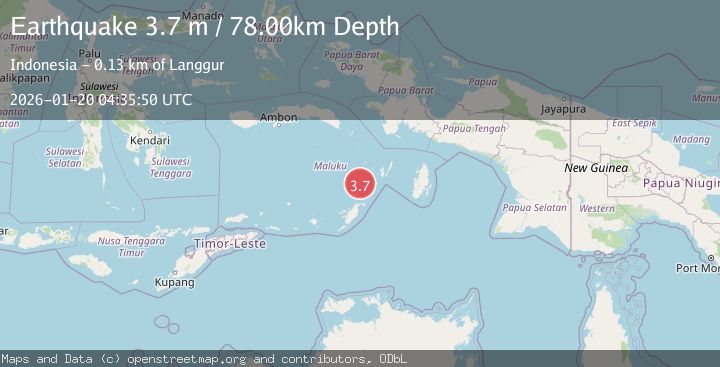
A 3.7 magnitude earthquake struck on KEP. TANIMBAR REGION, INDONESIA, at Tue, 20 Jan 2026 04:35:50 GMT. Depth: 78km. Reviewed by BMKG seismologists, this minor quake occurred at a magnitude type of m.
Magnitude
3.7
m
Source
BMKG
Intensity
-
Agency Reports
1 Sources| Source | Magnitude | Depth | Time |
|---|---|---|---|
| BMKGPrimary | 3.7 | 78 km | 0 months ago |
Earthquake Details
AutomaticEvent IDemsc_BMKG_20260120_0000063
Tsunami PotentialNo
Magnitude Typem
Nearest Places
- Pulau Kalbur46.4 km
- Tanjung Larumat47.5 km
- Nuhututul48.3 km
- Melwuarniweyar50.3 km
- Desa Adodo Molu50.3 km
Comments
Join the discussion about this event.
Latest Earthquakes
1.1Mag
Central Alaska
Time4 minutes ago
Depth74.95 km
SourceVYT (Automatic)
3.8Mag
Atacama, Chile
Time9 minutes ago
Depth113.40 km
SourceVYT (Automatic)
1.4Mag
Southeastern Alaska
Time10 minutes ago
Depth0.00 km
SourceVYT (Automatic)
3.0Mag
northern Sumatra, Indonesia
Time11 minutes ago
Depth10.50 km
SourceVYT (Automatic)
1.1Mag
WESTERN TURKEY
Time11 minutes ago
Depth7.00 km
SourceAFAD (Automatic)
Nearby Earthquakes
5.1Mag
KEP. TANIMBAR REGION, INDONESIA
Time6 years ago
Depth60.00 km
SourceEMSC (Automatic)
5.1Mag
KEP. TANIMBAR REGION, INDONESIA
Time10 years ago
Depth40.00 km
SourceEMSC (Automatic)
5.6Mag
Kepulauan Tanimbar, Indonesia
Time11 hours ago
Depth146.36 km
SourceVYT (Automatic)
4.0Mag
BANDA SEA
Time3 years ago
Depth111.00 km
SourceDJA (Automatic)
5.5Mag
KEP. TANIMBAR REGION, INDONESIA
Time6 years ago
Depth48.00 km
SourceEMSC (Automatic)