Earthquake NEAR N COAST OF PAPUA, INDONESIA
Tue, 20 Jan 2026 06:26:49 GMT
Time0 months ago
Location
-2.4400, 134.2600
Depth
10.0 KM
Event Summary
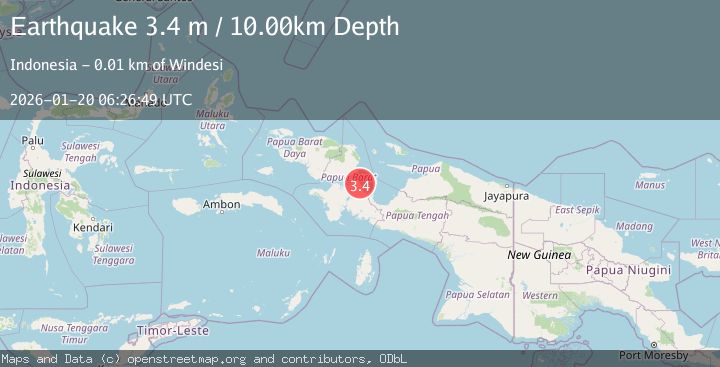
A 3.4 magnitude earthquake struck on NEAR N COAST OF PAPUA, INDONESIA, at Tue, 20 Jan 2026 06:26:49 GMT. Depth: 10km. Reviewed by BMKG seismologists, this minor quake occurred at a magnitude type of m.
Magnitude
3.4
m
Source
BMKG
Intensity
-
Agency Reports
1 Sources| Source | Magnitude | Depth | Time |
|---|---|---|---|
| BMKGPrimary | 3.4 | 10 km | 0 months ago |
Earthquake Details
AutomaticEvent IDemsc_BMKG_20260120_0000096
Tsunami PotentialNo
Magnitude Typem
Nearest Places
- Tanjung Ronsore1.7 km
- Kampung Wamesa Tengah4.0 km
- Windesi5.2 km
- Pulau Mutorai5.2 km
- Kampung Windesi6.7 km
Comments
Join the discussion about this event.
Latest Earthquakes
1.3Mag
Southeastern Alaska
Time10 hours ago
Depth0.00 km
SourceVYT (Automatic)
4.6Mag
Tarapaca, Chile
Time10 hours ago
Depth115.11 km
SourceVYT (Automatic)
1.1Mag
Czech Republic
Time10 hours ago
Depth0.00 km
SourceVYT (Automatic)
1.9Mag
Central Alaska
Time10 hours ago
Depth141.85 km
SourceVYT (Automatic)
2.7Mag
western Texas
Time10 hours ago
Depth0.00 km
SourceVYT (Automatic)
Nearby Earthquakes
2.4Mag
West Papua Region, Indonesia
Time2 weeks ago
Depth10.00 km
SourceBMKG (Automatic)
3.0Mag
NEAR N COAST OF PAPUA, INDONESIA
Time5 months ago
Depth10.00 km
SourceBMKG (Automatic)
3.0Mag
NEAR N COAST OF PAPUA, INDONESIA
Time1 year ago
Depth10.00 km
SourceBMKG (Automatic)
3.0Mag
NEAR N COAST OF PAPUA, INDONESIA
Time2 years ago
Depth11.00 km
SourceDJA (Automatic)
3.0Mag
NEAR N COAST OF PAPUA, INDONESIA
Time1 year ago
Depth12.00 km
SourceBMKG (Automatic)