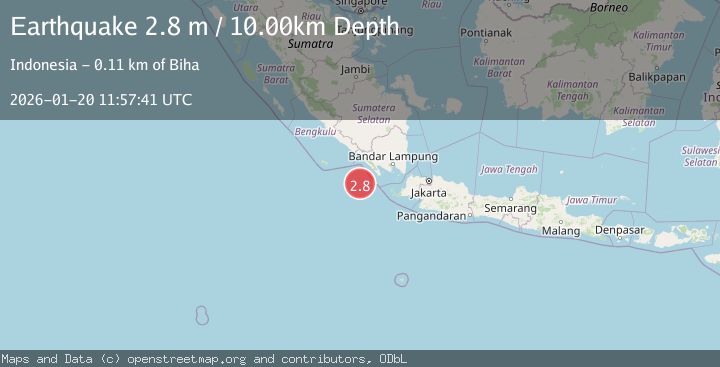
Earthquake SOUTHWEST OF SUMATRA, INDONESIA
Tue, 20 Jan 2026 11:57:41 GMT
Time0 months ago
Location
-6.2900, 103.8300
Depth
10.0 KM
Event Summary
A 2.8 magnitude earthquake struck on SOUTHWEST OF SUMATRA, INDONESIA, at Tue, 20 Jan 2026 11:57:41 GMT. Depth: 10km. Reviewed by BMKG seismologists, this minor quake occurred at a magnitude type of m.
Magnitude
2.8
m
Source
BMKG
Intensity
-
Agency Reports
1 Sources| Source | Magnitude | Depth | Time |
|---|---|---|---|
| BMKGPrimary | 2.8 | 10 km | 0 months ago |
Earthquake Details
AutomaticEvent IDemsc_BMKG_20260120_0000183
Tsunami PotentialNo
Magnitude Typem
Nearest Places
- Enggano Basin33.4 km
- Tanjung Cuku Balimbing75.5 km
- Pulau Betuah80.9 km
- Wai Cukung90.1 km
- Cukuh Batuberagam90.2 km
Comments
Join the discussion about this event.
Latest Earthquakes
2.7Mag
Tarapaca, Chile
Time2 minutes ago
Depth47.00 km
SourceVYT (Automatic)
1.3Mag
Southeastern Alaska
Time3 minutes ago
Depth0.00 km
SourceVYT (Automatic)
1.3Mag
53 km N of Petersville, Alaska
Time3 minutes ago
Depth126.60 km
SourceUSGS (Automatic)
1.5Mag
British Columbia, Canada
Time6 minutes ago
Depth25.88 km
SourceVYT (Automatic)
3.1Mag
Queensland, Australia
Time7 minutes ago
Depth0.00 km
SourceVYT (Automatic)
Nearby Earthquakes
5.0Mag
SOUTHWEST OF SUMATRA, INDONESIA
Time2 years ago
Depth43.00 km
SourceEMSC (Automatic)
4.0Mag
SOUTHWEST OF SUMATRA, INDONESIA
Time6 years ago
Depth139.00 km
SourceDJA (Automatic)
5.2Mag
SOUTHWEST OF SUMATRA, INDONESIA
Time5 years ago
Depth38.00 km
SourceEMSC (Automatic)
3.1Mag
SOUTHWEST OF SUMATRA, INDONESIA
Time1 month ago
Depth11.00 km
SourceBMKG (Automatic)
5.1Mag
SOUTHWEST OF SUMATRA, INDONESIA
Time3 years ago
Depth40.00 km
SourceEMSC (Automatic)