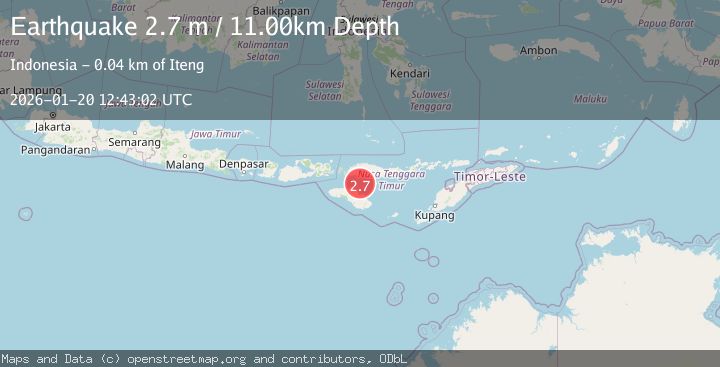
Earthquake SUMBA REGION, INDONESIA
Tue, 20 Jan 2026 12:43:02 GMT
Time1 month ago
Location
-9.1500, 120.3400
Depth
11.0 KM
Event Summary
A 2.7 magnitude earthquake struck on SUMBA REGION, INDONESIA, at Tue, 20 Jan 2026 12:43:02 GMT. Depth: 11km. Reviewed by BMKG seismologists, this minor quake occurred at a magnitude type of m.
Magnitude
2.7
m
Source
BMKG
Intensity
-
Agency Reports
1 Sources| Source | Magnitude | Depth | Time |
|---|---|---|---|
| BMKGPrimary | 2.7 | 11 km | 1 month ago |
Earthquake Details
AutomaticEvent IDemsc_BMKG_20260120_0000194
Tsunami PotentialNo
Magnitude Typem
Nearest Places
- Toro Ontokiu27.2 km
- Desa Nuca Molas29.3 km
- Pulau Mules29.3 km
- Peji31.2 km
- Ntaur31.8 km
Comments
Join the discussion about this event.
Latest Earthquakes
1.4Mag
Southeastern Alaska
Time12 hours ago
Depth0.00 km
SourceVYT (Automatic)
1.8Mag
Southern Alaska
Time12 hours ago
Depth10.00 km
SourceVYT (Automatic)
2.0Mag
Southern Alaska
Time12 hours ago
Depth29.91 km
SourceVYT (Automatic)
1.1Mag
2 km NNE of The Geysers, CA
Time12 hours ago
Depth2.51 km
SourceUSGS (Automatic)
2.2Mag
Dead Sea region
Time12 hours ago
Depth1.95 km
SourceVYT (Automatic)
Nearby Earthquakes
5.1Mag
SUMBA REGION, INDONESIA
Time19 years ago
Depth50.00 km
SourceEMSC (Automatic)
3.0Mag
SUMBA REGION, INDONESIA
Time3 months ago
Depth12.00 km
SourceBMKG (Automatic)
3.1Mag
SUMBA REGION, INDONESIA
Time1 month ago
Depth82.00 km
SourceBMKG (Automatic)
3.0Mag
SUMBA REGION, INDONESIA
Time2 years ago
Depth12.00 km
SourceDJA (Automatic)
3.1Mag
Sumba Region, Indonesia
Time3 weeks ago
Depth7.25 km
SourceBMKG (Automatic)