Earthquake MOLUCCA SEA
Wed, 21 Jan 2026 21:22:46 GMT
Time0 months ago
Location
1.2900, 126.3800
Depth
10.0 KM
Event Summary
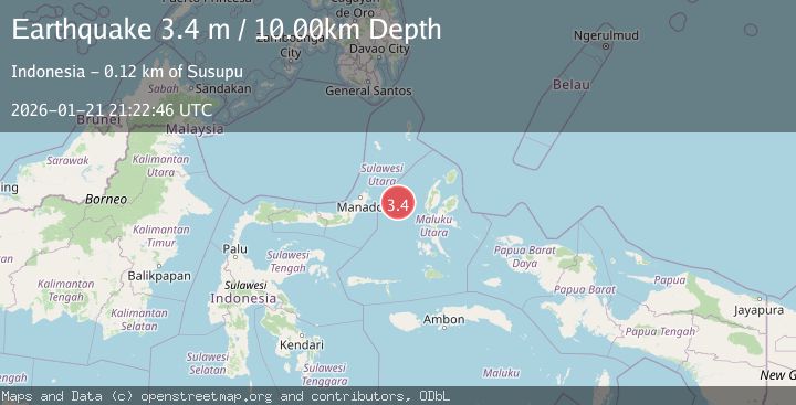
A 3.4 magnitude earthquake struck on MOLUCCA SEA, at Wed, 21 Jan 2026 21:22:46 GMT. Depth: 10km. Reviewed by BMKG seismologists, this minor quake occurred at a magnitude type of m.
Magnitude
3.4
m
Source
BMKG
Intensity
-
Agency Reports
1 Sources| Source | Magnitude | Depth | Time |
|---|---|---|---|
| BMKGPrimary | 3.4 | 10 km | 0 months ago |
Earthquake Details
AutomaticEvent IDemsc_BMKG_20260121_0000419
Tsunami PotentialNo
Magnitude Typem
Nearest Places
- Kelurahan Lelewi2.3 km
- Tanjung Geranomaderi2.6 km
- Kecamatan Pulau Batang Dua3.8 km
- Pulau Mayu4.0 km
- Pasirputih4.2 km
Comments
Join the discussion about this event.
Latest Earthquakes
1.1Mag
Alaska Peninsula
Time1 minute ago
Depth0.00 km
SourceVYT (Automatic)
2.0Mag
Kenai Peninsula, Alaska
Time3 minutes ago
Depth72.27 km
SourceVYT (Automatic)
2.0Mag
Central Alaska
Time7 minutes ago
Depth216.92 km
SourceVYT (Automatic)
1.8Mag
Region Metropolitana, Chile
Time11 minutes ago
Depth14.89 km
SourceVYT (Automatic)
5.0Mag
Kepulauan Aru region, Indonesia
Time11 minutes ago
Depth0.00 km
SourceVYT (Automatic)
Nearby Earthquakes
5.0Mag
MOLUCCA SEA
Time1 year ago
Depth35.00 km
SourceEMSC (Automatic)
5.0Mag
MOLUCCA SEA
Time11 months ago
Depth45.00 km
SourceEMSC (Automatic)
5.0Mag
MOLUCCA SEA
Time15 years ago
Depth54.00 km
SourceEMSC (Automatic)
5.0Mag
MOLUCCA SEA
Time18 years ago
Depth40.00 km
SourceEMSC (Automatic)
5.6Mag
MOLUCCA SEA
Time9 years ago
Depth48.00 km
SourceEMSC (Automatic)