Earthquake MOLUCCA SEA
Sat, 14 Jan 2017 11:41:21 GMT
Time9 years ago
Location
1.2600, 126.4200
Depth
48.0 KM
Event Summary
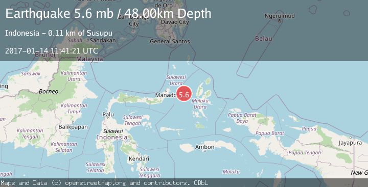
A 5.6 magnitude earthquake struck on MOLUCCA SEA, at Sat, 14 Jan 2017 11:41:21 GMT. Depth: 48km. Reviewed by EMSC seismologists, this moderate quake occurred at a magnitude type of mb.
Magnitude
5.6
mb
Source
EMSC
Intensity
-
Agency Reports
1 Sources| Source | Magnitude | Depth | Time |
|---|---|---|---|
| EMSCPrimary | 5.6 | 48 km | 9 years ago |
Earthquake Details
AutomaticEvent IDemsc_EMSC_20170114_0000044
Tsunami PotentialNo
Magnitude Typemb
Nearest Places
- Tanjung Geranomaderi4.1 km
- Kelurahan Lelewi6.9 km
- Kelurahan Bido8.0 km
- Kecamatan Pulau Batang Dua8.1 km
- Pulau Mayu8.2 km
Comments
Join the discussion about this event.
Latest Earthquakes
2.7Mag
Southern Sumatra, Indonesia
Time14 hours ago
Depth39.33 km
SourceBMKG
4.0Mag
SIBUYAN SEA, PHILIPPINES
Time14 hours ago
Depth10.00 km
SourcePIVS (Automatic)
1.8Mag
Southern Alaska
Time14 hours ago
Depth51.51 km
SourceVYT (Automatic)
1.9Mag
11 km E of Pāhala, Hawaii
Time14 hours ago
Depth30.61 km
SourceUSGS (Automatic)
2.7Mag
NEAR COAST OF NICARAGUA
Time14 hours ago
Depth8.00 km
SourceINET (Automatic)
Nearby Earthquakes
5.0Mag
MOLUCCA SEA
Time18 years ago
Depth40.00 km
SourceEMSC (Automatic)
5.0Mag
MOLUCCA SEA
Time11 months ago
Depth45.00 km
SourceEMSC (Automatic)
3.1Mag
Northern Molucca Sea
Time3 weeks ago
Depth31.63 km
SourceBMKG (Automatic)
6.5Mag
MOLUCCA SEA
Time15 years ago
Depth60.00 km
SourceEMSC (Automatic)
4.0Mag
MOLUCCA SEA
Time6 years ago
Depth162.00 km
SourceDJA (Automatic)