Earthquake LOMBOK REGION, INDONESIA
Fri, 23 Jan 2026 16:17:55 GMT
Time3 days ago
Location
-9.6200, 116.4700
Depth
10.0 KM
Event Summary
A 2.7 magnitude earthquake struck on LOMBOK REGION, INDONESIA, at Fri, 23 Jan 2026 16:17:55 GMT. Depth: 10km. Reviewed by BMKG seismologists, this minor quake occurred at a magnitude type of m.
Magnitude
2.7
m
Source
BMKG
Intensity
-
Agency Reports
1 Sources| Source | Magnitude | Depth | Time |
|---|---|---|---|
| BMKGPrimary | 2.7 | 30 km | 3 days ago |
Earthquake Details
AutomaticEvent IDemsc_BMKG_20260123_0000282
Tsunami PotentialNo
Magnitude Typem
Nearest Places
- Lombok Basin56.7 km
- Tanjung Mangkun73.0 km
- Pulau Gilisaya73.4 km
- Mangkun74.4 km
- Brang Senyur74.5 km
Comments
Join the discussion about this event.
Latest Earthquakes
3.7Mag
VALPARAISO, CHILE
Time7 minutes ago
Depth27.60 km
SourceCSN (Automatic)
2.0Mag
CENTRAL TURKEY
Time10 minutes ago
Depth23.50 km
SourceKOERI (Automatic)
3.2Mag
OFFSHORE EL SALVADOR
Time11 minutes ago
Depth28.00 km
SourceINET (Automatic)
3.1Mag
South of Java, Indonesia
Time12 minutes ago
Depth5.01 km
SourceBMKG (Automatic)
2.5Mag
Near North Coast of West Papua
Time14 minutes ago
Depth10.00 km
SourceBMKG (Automatic)
Nearby Earthquakes
2.7Mag
Sumbawa Region, Indonesia
Time5 days ago
Depth29.18 km
SourceBMKG (Automatic)
3.0Mag
Sumbawa Region, Indonesia
Time2 days ago
Depth10.00 km
SourceBMKG (Automatic)
2.9Mag
South of Bali, Indonesia
Time3 days ago
Depth27.22 km
SourceBMKG (Automatic)
2.2Mag
Sumbawa Region, Indonesia
Time23 hours ago
Depth72.67 km
SourceBMKG (Automatic)
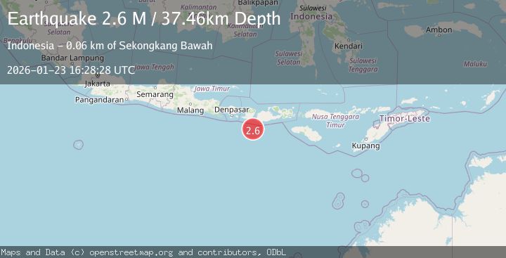
2.6Mag
Sumbawa Region, Indonesia
Time4 days ago
Depth5.67 km
SourceBMKG (Automatic)