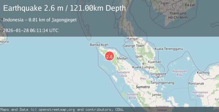
Earthquake NORTHERN SUMATRA, INDONESIA
Wed, 28 Jan 2026 06:11:14 GMT
Time3 hours ago
Location
4.2900, 96.8400
Depth
121.0 KM
Event Summary
A 2.6 magnitude earthquake struck on NORTHERN SUMATRA, INDONESIA, at Wed, 28 Jan 2026 06:11:14 GMT. Depth: 121km. Reviewed by BMKG seismologists, this minor quake occurred at a magnitude type of m.
Magnitude
2.6
m
Source
BMKG
Intensity
-
Agency Reports
1 Sources| Source | Magnitude | Depth | Time |
|---|---|---|---|
| BMKGPrimary | 2.6 | 121 km | 3 hours ago |
Earthquake Details
AutomaticEvent IDemsc_BMKG_20260128_0000100
Tsunami PotentialNo
Magnitude Typem
Nearest Places
- Burni Tangak0.9 km
- Alur Tangak1.8 km
- Burni Sejuk2.4 km
- Burni Jagong2.5 km
- Wihni Kia2.6 km
Comments
Join the discussion about this event.
Latest Earthquakes
1.1Mag
55 km SSE of Denali National Park, Alaska
Time3 hours ago
Depth5.00 km
SourceUSGS (Automatic)
3.4Mag
South of Sumbawa, Indonesia
Time3 hours ago
Depth10.00 km
SourceBMKG (Automatic)
0.8Mag
10 km WSW of Pine Valley, CA
Time3 hours ago
Depth18.14 km
SourceUSGS (Automatic)
1.6Mag
55 km WNW of Happy Valley, Alaska
Time3 hours ago
Depth97.60 km
SourceUSGS (Automatic)
2.9Mag
SOUTH OF PANAMA
Time3 hours ago
Depth10.00 km
SourceUNA (Automatic)
Nearby Earthquakes
3.3Mag
Northern Sumatra, Indonesia
Time12 hours ago
Depth10.00 km
SourceBMKG (Automatic)
2.5Mag
Northern Sumatra, Indonesia
Time1 day ago
Depth6.53 km
SourceBMKG (Automatic)
2.6Mag
Northern Sumatra, Indonesia
Time5 days ago
Depth10.00 km
SourceBMKG (Automatic)
2.7Mag
Northern Sumatra, Indonesia
Time23 hours ago
Depth0.60 km
SourceBMKG (Automatic)
2.2Mag
Northern Sumatra, Indonesia
Time4 days ago
Depth2.00 km
SourceBMKG (Automatic)