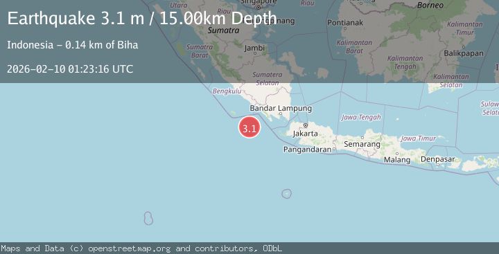
Earthquake SOUTHWEST OF SUMATRA, INDONESIA
Tue, 10 Feb 2026 01:23:16 GMT
Time1 week ago
Location
-6.3100, 103.3000
Depth
15.0 KM
Event Summary
A 3.1 magnitude earthquake struck on SOUTHWEST OF SUMATRA, INDONESIA, at Tue, 10 Feb 2026 01:23:16 GMT. Depth: 15km. Reviewed by BMKG seismologists, this minor quake occurred at a magnitude type of m.
Magnitude
3.1
m
Source
BMKG
Intensity
-
Agency Reports
1 Sources| Source | Magnitude | Depth | Time |
|---|---|---|---|
| BMKGPrimary | 3.1 | 15 km | 1 week ago |
Earthquake Details
AutomaticEvent IDemsc_BMKG_20260210_0000022
Tsunami PotentialNo
Magnitude Typem
Nearest Places
- Enggano Basin60.5 km
- Wai Tembuli131.3 km
- Desa Muara Tembulih132.1 km
- Wai Ngambur132.2 km
- Wai Telemah132.8 km
Comments
Join the discussion about this event.
Latest Earthquakes
1.4Mag
EASTERN TURKEY
Time17 hours ago
Depth6.80 km
SourceAFAD (Automatic)
1.7Mag
northern Alaska
Time17 hours ago
Depth4.64 km
SourceVYT (Automatic)
1.2Mag
5 km WNW of The Geysers, CA
Time17 hours ago
Depth3.19 km
SourceUSGS (Automatic)
3.4Mag
Sulawesi, Indonesia
Time18 hours ago
Depth27.95 km
SourceVYT (Automatic)
1.6Mag
Central Alaska
Time18 hours ago
Depth18.07 km
SourceVYT (Automatic)
Nearby Earthquakes
4.0Mag
SOUTHWEST OF SUMATRA, INDONESIA
Time6 years ago
Depth10.00 km
SourceDJA (Automatic)
3.0Mag
SOUTHWEST OF SUMATRA, INDONESIA
Time3 years ago
Depth10.00 km
SourceDJA (Automatic)
3.2Mag
SOUTHWEST OF SUMATRA, INDONESIA
Time1 month ago
Depth10.00 km
SourceBMKG (Automatic)
3.0Mag
SOUTHWEST OF SUMATRA, INDONESIA
Time4 years ago
Depth13.00 km
SourceDJA (Automatic)
2.9Mag
Southwest of Sumatra, Indonesia
Time1 week ago
Depth10.00 km
SourceBMKG (Automatic)