Earthquake Southwest of Sumatra, Indonesia
Tue, 10 Feb 2026 01:23:15 GMT
Time4 hours ago
Location
-6.1748, 103.2578
Depth
10.0 KM
Event Summary
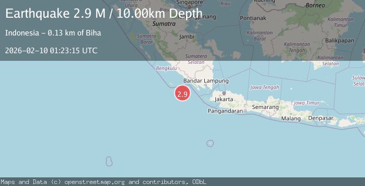
A 2.9 magnitude earthquake struck on Southwest of Sumatra, Indonesia, at Tue, 10 Feb 2026 01:23:15 GMT. Depth: 10km. Reviewed by BMKG seismologists, this minor quake occurred at a magnitude type of M.
Magnitude
2.9
M
Source
BMKG
Intensity
-
Agency Reports
1 Sources| Source | Magnitude | Depth | Time |
|---|---|---|---|
| BMKGPrimary | 2.9 | 10 km | 4 hours ago |
Earthquake Details
AutomaticEvent IDbmg2026cvew
Tsunami PotentialNo
Magnitude TypeM
Nearest Places
- Enggano Basin57.8 km
- Tanjung Kahoabi123.1 km
- Pulau Merbau123.1 km
- Wai Tembuli124.4 km
- Pulaudua124.5 km
Comments
Join the discussion about this event.
Latest Earthquakes
3.2Mag
OFFSHORE COQUIMBO, CHILE
Time4 hours ago
Depth23.90 km
SourceCSN (Automatic)
3.9Mag
West Papua Region, Indonesia
Time4 hours ago
Depth20.40 km
SourceBMKG (Automatic)
2.8Mag
ALBANIA
Time4 hours ago
Depth15.00 km
SourceIGEO (Automatic)
3.3Mag
NORTH ISLAND OF NEW ZEALAND
Time4 hours ago
Depth17.00 km
SourceGNS (Automatic)
4.5Mag
MORO GULF, MINDANAO, PHILIPPINES
Time4 hours ago
Depth35.00 km
SourcePIVS (Automatic)
Nearby Earthquakes
2.9Mag
SOUTHWEST OF SUMATRA, INDONESIA
Time2 weeks ago
Depth10.00 km
SourceBMKG (Automatic)
3.2Mag
Southwest of Sumatra, Indonesia
Time1 week ago
Depth26.83 km
SourceBMKG (Automatic)
2.9Mag
Southwest of Sumatra, Indonesia
Time2 weeks ago
Depth94.33 km
SourceBMKG (Automatic)
3.5Mag
Southwest of Sumatra, Indonesia
Time1 week ago
Depth27.10 km
SourceBMKG (Automatic)
3.3Mag
Southwest of Sumatra, Indonesia
Time1 week ago
Depth25.24 km
SourceBMKG (Automatic)