Earthquake Southern Sumatra, Indonesia
Thu, 29 Jan 2026 19:33:32 GMT
Time3 hours ago
Location
-5.1581, 103.1307
Depth
23.6 KM
Event Summary
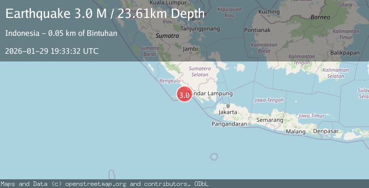
A 3.0 magnitude earthquake struck on Southern Sumatra, Indonesia, at Thu, 29 Jan 2026 19:33:32 GMT. Depth: 23.613756km. Reviewed by BMKG seismologists, this minor quake occurred at a magnitude type of M.
Magnitude
3.0
M
Source
BMKG
Intensity
-
Agency Reports
1 Sources| Source | Magnitude | Depth | Time |
|---|---|---|---|
| BMKGPrimary | 3.0 | 24 km | 3 hours ago |
Earthquake Details
AutomaticEvent IDbmg2026caqu
Tsunami PotentialNo
Magnitude TypeM
Nearest Places
- Tanjung Bintuhan45.4 km
- Desa Muara Jaya45.5 km
- Tanjung Linau45.5 km
- Teluk Sambat45.7 km
- Kelurahan Bandar Bintuhan45.8 km
Comments
Join the discussion about this event.
Latest Earthquakes
2.1Mag
10 km NE of Pāhala, Hawaii
Time3 hours ago
Depth28.82 km
SourceUSGS (Automatic)
2.2Mag
Timor Region
Time3 hours ago
Depth5.01 km
SourceBMKG (Automatic)
2.5Mag
SULAWESI, INDONESIA
Time3 hours ago
Depth12.00 km
SourceBMKG (Automatic)
3.1Mag
NORTH ISLAND OF NEW ZEALAND
Time3 hours ago
Depth18.60 km
SourceGNS (Automatic)
1.3Mag
3 km SE of The Geysers, CA
Time4 hours ago
Depth2.14 km
SourceUSGS (Automatic)
Nearby Earthquakes
2.9Mag
Southern Sumatra, Indonesia
Time3 days ago
Depth22.12 km
SourceBMKG (Automatic)
2.7Mag
Southern Sumatra, Indonesia
Time5 days ago
Depth27.97 km
SourceBMKG (Automatic)
2.9Mag
Southwest of Sumatra, Indonesia
Time1 week ago
Depth94.33 km
SourceBMKG (Automatic)
2.9Mag
SOUTHWEST OF SUMATRA, INDONESIA
Time1 week ago
Depth10.00 km
SourceBMKG (Automatic)
3.3Mag
Southwest of Sumatra, Indonesia
Time2 days ago
Depth25.24 km
SourceBMKG (Automatic)