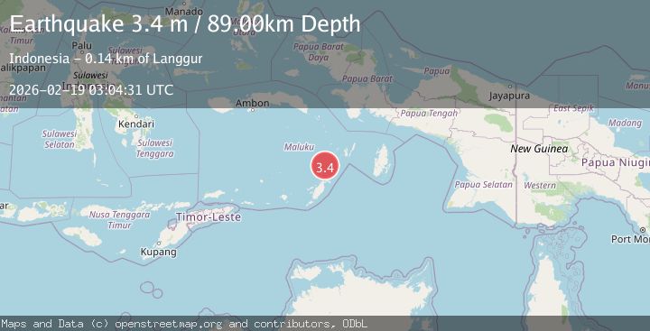
Earthquake KEP. TANIMBAR REGION, INDONESIA
Thu, 19 Feb 2026 03:04:31 GMT
Time1 hour ago
Location
-6.3900, 131.7200
Depth
89.0 KM
Event Summary
A 3.4 magnitude earthquake struck on KEP. TANIMBAR REGION, INDONESIA, at Thu, 19 Feb 2026 03:04:31 GMT. Depth: 89km. Reviewed by BMKG seismologists, this minor quake occurred at a magnitude type of m.
Magnitude
3.4
m
Source
BMKG
Intensity
-
Agency Reports
1 Sources| Source | Magnitude | Depth | Time |
|---|---|---|---|
| BMKGPrimary | 3.4 | 89 km | 1 hour ago |
Earthquake Details
AutomaticEvent IDemsc_BMKG_20260219_0000042
Tsunami PotentialNo
Magnitude Typem
Nearest Places
- Pulau Kalbur32.9 km
- Tanjung Larumat33.8 km
- Nuhututul34.8 km
- Melwuarniweyar36.8 km
- Desa Adodo Molu36.8 km
Comments
Join the discussion about this event.
Latest Earthquakes
3.0Mag
Seram, Indonesia
Time1 hour ago
Depth3.59 km
SourceBMKG
3.4Mag
Rat Islands, Aleutian Islands, Alaska
Time1 hour ago
Depth112.18 km
SourceVYT (Automatic)
3.0Mag
Timor Region
Time1 hour ago
Depth49.07 km
SourceBMKG
3.2Mag
Southern Alaska
Time1 hour ago
Depth76.29 km
SourceVYT (Automatic)
3.8Mag
Nicaragua
Time1 hour ago
Depth342.53 km
SourceVYT (Automatic)
Nearby Earthquakes
3.7Mag
KEP. TANIMBAR REGION, INDONESIA
Time0 months ago
Depth78.00 km
SourceBMKG (Automatic)
5.1Mag
KEP. TANIMBAR REGION, INDONESIA
Time6 years ago
Depth60.00 km
SourceEMSC (Automatic)
5.1Mag
KEP. TANIMBAR REGION, INDONESIA
Time10 years ago
Depth40.00 km
SourceEMSC (Automatic)
5.0Mag
KEP. TANIMBAR REGION, INDONESIA
Time7 years ago
Depth40.00 km
SourceEMSC (Automatic)
5.5Mag
KEP. TANIMBAR REGION, INDONESIA
Time6 years ago
Depth48.00 km
SourceEMSC (Automatic)