Earthquake MOLUCCA SEA
Thu, 19 Feb 2026 17:41:54 GMT
Time1 hour ago
Location
2.6900, 126.8000
Depth
184.0 KM
Event Summary
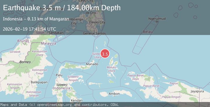
A 3.5 magnitude earthquake struck on MOLUCCA SEA, at Thu, 19 Feb 2026 17:41:54 GMT. Depth: 184km. Reviewed by BMKG seismologists, this minor quake occurred at a magnitude type of m.
Magnitude
3.5
m
Source
BMKG
Intensity
-
Agency Reports
1 Sources| Source | Magnitude | Depth | Time |
|---|---|---|---|
| BMKGPrimary | 3.5 | 184 km | 1 hour ago |
Earthquake Details
AutomaticEvent IDemsc_BMKG_20260219_0000272
Tsunami PotentialNo
Magnitude Typem
Nearest Places
- Pulau Karis103.2 km
- Pulau Napumbalu105.7 km
- Pulau Deherete114.4 km
- Pulau Laba114.8 km
- Tanjung Pallo115.5 km
Comments
Join the discussion about this event.
Latest Earthquakes
2.2Mag
Central California
Time1 hour ago
Depth18.07 km
SourceVYT (Automatic)
2.8Mag
Antofagasta, Chile
Time1 hour ago
Depth0.00 km
SourceVYT (Automatic)
4.2Mag
North of Halmahera, Indonesia
Time1 hour ago
Depth129.04 km
SourceBMKG
3.7Mag
north of Halmahera, Indonesia
Time1 hour ago
Depth10.00 km
SourceVYT (Automatic)
0.9Mag
Southern Alaska
Time1 hour ago
Depth11.84 km
SourceVYT (Automatic)
Nearby Earthquakes
4.0Mag
MOLUCCA SEA
Time1 year ago
Depth88.00 km
SourcePIVS (Automatic)
3.5Mag
Northern Molucca Sea
Time0 months ago
Depth10.00 km
SourceBMKG (Automatic)
5.4Mag
MOLUCCA SEA
Time20 years ago
Depth40.00 km
SourceEMSC (Automatic)
5.1Mag
MOLUCCA SEA
Time19 years ago
Depth60.00 km
SourceEMSC (Automatic)
5.0Mag
MOLUCCA SEA
Time11 years ago
Depth80.00 km
SourceEMSC (Automatic)