Earthquake north of Halmahera, Indonesia
Thu, 19 Feb 2026 17:41:45 GMT
Time1 hour ago
Location
4.3578, 128.3642
Depth
10.0 KM
Event Summary
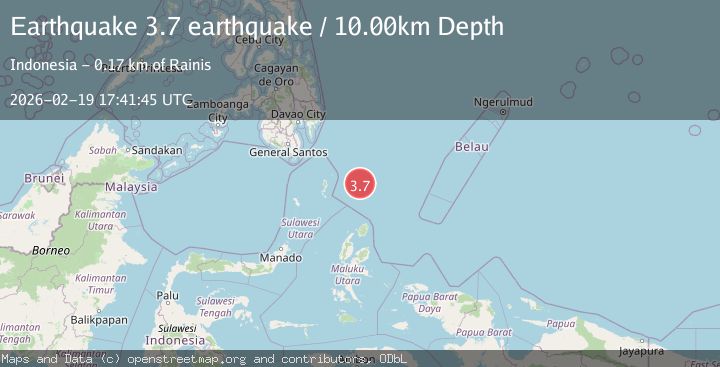
A 3.7 magnitude earthquake struck on north of Halmahera, Indonesia, at Thu, 19 Feb 2026 17:41:45 GMT. Depth: 10km. Reviewed by VYT seismologists, this minor quake occurred at a magnitude type of earthquake.
Magnitude
3.7
earthquake
Source
VYT
Intensity
-
Agency Reports
1 Sources| Source | Magnitude | Depth | Time |
|---|---|---|---|
| VYTPrimary | 3.7 | 10 km | 1 hour ago |
Earthquake Details
AutomaticEvent IDvyt_1rxqilatg1ci0
Tsunami PotentialNo
Magnitude Typeearthquake
Nearest Places
- Snellius Ridge56.7 km
- Talaud Trough112.4 km
- Pulau Kakorotan136.9 km
- Desa Kakorotan136.9 km
- Pulau Intata137.4 km
Comments
Join the discussion about this event.
Latest Earthquakes
4.2Mag
Java, Indonesia
Time42 minutes ago
Depth95.46 km
SourceVYT (Automatic)
1.6Mag
Sumbawa region, Indonesia
Time42 minutes ago
Depth11.47 km
SourceVYT (Automatic)
3.0Mag
southern Sumatra, Indonesia
Time43 minutes ago
Depth37.96 km
SourceVYT (Automatic)
3.1Mag
Near North Coast of West Papua
Time46 minutes ago
Depth10.00 km
SourceBMKG
3.1Mag
Sweden
Time51 minutes ago
Depth0.00 km
SourceVYT (Automatic)
Nearby Earthquakes
5.7Mag
north of Halmahera, Indonesia
Time6 days ago
Depth10.00 km
SourceVYT (Automatic)
3.9Mag
North of Halmahera, Indonesia
Time6 days ago
Depth10.00 km
SourceBMKG
5.1Mag
north of Halmahera, Indonesia
Time5 days ago
Depth10.00 km
SourceVYT (Automatic)
3.2Mag
north of Halmahera, Indonesia
Time3 days ago
Depth10.00 km
SourceVYT (Automatic)
5.0Mag
North of Halmahera, Indonesia
Time6 days ago
Depth10.00 km
SourceBMKG