Earthquake NEAR N COAST OF PAPUA, INDONESIA
Mon, 23 Feb 2026 01:13:31 GMT
Time2 hours ago
Location
-1.9700, 139.0200
Depth
41.0 KM
Event Summary
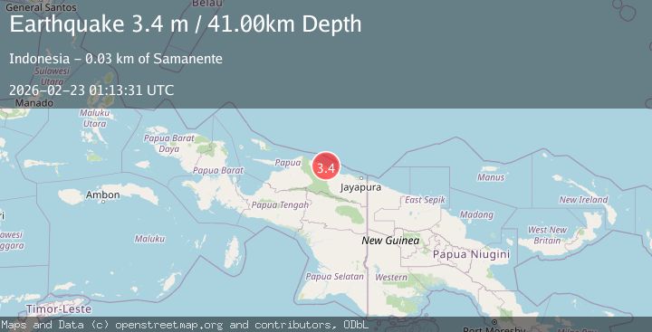
A 3.4 magnitude earthquake struck on NEAR N COAST OF PAPUA, INDONESIA, at Mon, 23 Feb 2026 01:13:31 GMT. Depth: 41km. Reviewed by BMKG seismologists, this minor quake occurred at a magnitude type of m.
Magnitude
3.4
m
Source
BMKG
Intensity
-
Agency Reports
1 Sources| Source | Magnitude | Depth | Time |
|---|---|---|---|
| BMKGPrimary | 3.4 | 41 km | 2 hours ago |
Earthquake Details
AutomaticEvent IDemsc_BMKG_20260223_0000010
Tsunami PotentialNo
Magnitude Typem
Nearest Places
- 2.3 km
- 3.1 km
- 3.2 km
- 3.6 km
- 3.9 km
Comments
Join the discussion about this event.
Latest Earthquakes
2.2Mag
Tarapaca, Chile
Time2 hours ago
Depth112.67 km
SourceVYT (Automatic)
1.2Mag
Southeastern Alaska
Time2 hours ago
Depth0.00 km
SourceVYT (Automatic)
2.3Mag
134 km E of Chignik, Alaska
Time2 hours ago
Depth53.90 km
SourceUSGS (Automatic)
1.3Mag
Kenai Peninsula, Alaska
Time2 hours ago
Depth31.37 km
SourceVYT (Automatic)
2.1Mag
Tarapaca, Chile
Time2 hours ago
Depth0.00 km
SourceVYT (Automatic)
Nearby Earthquakes
3.0Mag
NEAR N COAST OF PAPUA, INDONESIA
Time4 months ago
Depth21.00 km
SourceBMKG (Automatic)
5.0Mag
NEAR N COAST OF PAPUA, INDONESIA
Time6 months ago
Depth20.00 km
SourceEMSC (Automatic)
3.5Mag
Near North Coast of West Papua
Time3 weeks ago
Depth9.75 km
SourceBMKG (Automatic)
2.5Mag
NEAR N COAST OF PAPUA, INDONESIA
Time1 month ago
Depth25.00 km
SourceBMKG (Automatic)
5.1Mag
NEAR N COAST OF PAPUA, INDONESIA
Time16 years ago
Depth20.00 km
SourceEMSC (Automatic)