Earthquake SOUTHERN YUKON TERRITORY, CANADA
Wed, 14 Jan 2026 09:59:34 GMT
Time1 month ago
Location
60.5172, -140.0648
Depth
5.0 KM
Event Summary
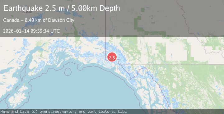
A 2.5 magnitude earthquake struck on SOUTHERN YUKON TERRITORY, CANADA, at Wed, 14 Jan 2026 09:59:34 GMT. Depth: 5km. Reviewed by CN seismologists, this minor quake occurred at a magnitude type of m.
Magnitude
2.5
m
Source
CN
Intensity
-
Agency Reports
1 Sources| Source | Magnitude | Depth | Time |
|---|---|---|---|
| CNPrimary | 2.5 | 5 km | 1 month ago |
Earthquake Details
AutomaticEvent IDemsc_CN_20260114_0000259
Tsunami PotentialNo
Magnitude Typem
Nearest Places
- Marker Lake4.3 km
- McArthur Peak12.8 km
- Mount King George15.3 km
- Mount Logan19.4 km
- Mount Queen Mary22.3 km
Comments
Join the discussion about this event.
Latest Earthquakes
2.5Mag
Java, Indonesia
Time5 minutes ago
Depth76.49 km
SourceBMKG
1.9Mag
Tarapaca, Chile
Time11 minutes ago
Depth7.93 km
SourceVYT (Automatic)
2.4Mag
West Papua Region, Indonesia
Time12 minutes ago
Depth10.00 km
SourceBMKG
2.7Mag
Antofagasta, Chile
Time14 minutes ago
Depth0.00 km
SourceVYT (Automatic)
2.7Mag
Tarapaca, Chile
Time18 minutes ago
Depth10.50 km
SourceVYT (Automatic)
Nearby Earthquakes
3.7Mag
SOUTHERN YUKON TERRITORY, CANADA
Time1 month ago
Depth5.00 km
SourceAK (Automatic)
3.5Mag
SOUTHERN YUKON TERRITORY, CANADA
Time1 month ago
Depth5.00 km
SourceNEIC (Automatic)
2.5Mag
SOUTHERN YUKON TERRITORY, CANADA
Time1 month ago
Depth5.00 km
SourceNEIC (Automatic)
3.7Mag
SOUTHERN YUKON TERRITORY, CANADA
Time1 month ago
Depth5.00 km
SourceNEIC (Automatic)
2.7Mag
SOUTHERN YUKON TERRITORY, CANADA
Time1 month ago
Depth5.00 km
SourceNEIC (Automatic)