Earthquake SOUTHERN SUMATRA, INDONESIA
Sun, 12 Jan 2020 08:18:30 GMT
Time6 years ago
Location
-3.0900, 103.0200
Depth
234.0 KM
Event Summary
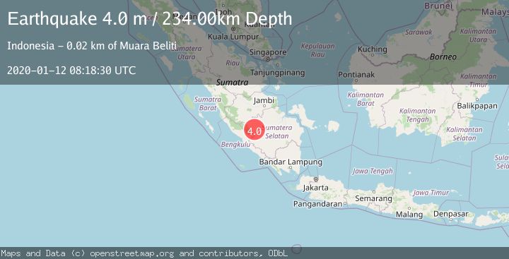
A 4.0 magnitude earthquake struck on SOUTHERN SUMATRA, INDONESIA, at Sun, 12 Jan 2020 08:18:30 GMT. Depth: 234km. Reviewed by DJA seismologists, this light quake occurred at a magnitude type of m.
Magnitude
4.0
m
Source
DJA
Intensity
-
Agency Reports
1 Sources| Source | Magnitude | Depth | Time |
|---|---|---|---|
| DJAPrimary | 4.0 | 234 km | 6 years ago |
Earthquake Details
AutomaticEvent IDemsc_DJA_20200112_0000091
Tsunami PotentialNo
Magnitude Typem
Nearest Places
- 0.2 km
- 1.0 km
- 2.2 km
- 2.6 km
- 2.6 km
Comments
Join the discussion about this event.
Latest Earthquakes
1.8Mag
85 km NE of Tonopah, Nevada
Time58 minutes ago
Depth6.04 km
SourceUSGS (Automatic)
1.8Mag
81 km NE of Tonopah, Nevada
Time1 hour ago
Depth11.57 km
SourceUSGS (Automatic)
1.6Mag
94 km NE of Tonopah, Nevada
Time1 hour ago
Depth12.22 km
SourceUSGS (Automatic)
1.5Mag
PYRENEES
Time1 hour ago
Depth0.00 km
SourceIGN (Automatic)
3.0Mag
southeast central Pacific Ocean
Time1 hour ago
Depth369.75 km
SourceVYT (Automatic)
Nearby Earthquakes
4.0Mag
SOUTHERN SUMATRA, INDONESIA
Time3 years ago
Depth196.00 km
SourceDJA (Automatic)
4.4Mag
SOUTHERN SUMATRA, INDONESIA
Time1 month ago
Depth202.00 km
SourceEMSC (Automatic)
3.0Mag
SOUTHERN SUMATRA, INDONESIA
Time1 year ago
Depth195.00 km
SourceBMKG (Automatic)
4.0Mag
SOUTHERN SUMATRA, INDONESIA
Time2 years ago
Depth203.00 km
SourceBMKG (Automatic)
2.9Mag
SOUTHERN SUMATRA, INDONESIA
Time3 weeks ago
Depth58.00 km
SourceBMKG (Automatic)