Earthquake SOUTHERN SUMATRA, INDONESIA
Wed, 12 Feb 2020 18:37:49 GMT
Time6 years ago
Location
-0.4300, 100.4400
Depth
10.0 KM
Event Summary
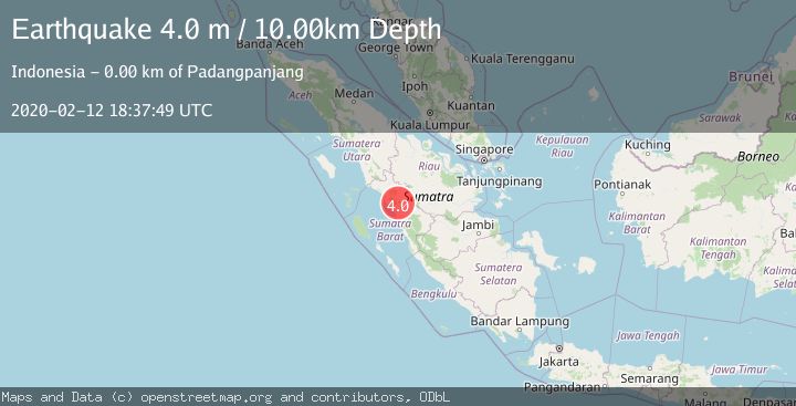
A 4.0 magnitude earthquake struck on SOUTHERN SUMATRA, INDONESIA, at Wed, 12 Feb 2020 18:37:49 GMT. Depth: 10km. Reviewed by DJA seismologists, this light quake occurred at a magnitude type of m.
Magnitude
4.0
m
Source
DJA
Intensity
-
Agency Reports
1 Sources| Source | Magnitude | Depth | Time |
|---|---|---|---|
| DJAPrimary | 4.0 | 10 km | 6 years ago |
Earthquake Details
AutomaticEvent IDemsc_DJA_20200212_0000149
Tsunami PotentialNo
Magnitude Typem
Nearest Places
- Nagari Andaleh0.7 km
- Kabupaten Tanah Datar1.4 km
- Paninjawan Dua2.3 km
- Nagari Panyalaian2.3 km
- Nagari Sabu2.5 km
Comments
Join the discussion about this event.
Latest Earthquakes
2.2Mag
Tarapaca, Chile
Time6 hours ago
Depth16.97 km
SourceVYT (Automatic)
1.8Mag
24 km ESE of Naalehu, Hawaii
Time6 hours ago
Depth31.03 km
SourceUSGS (Automatic)
2.0Mag
Tarapaca, Chile
Time6 hours ago
Depth0.00 km
SourceVYT (Automatic)
1.9Mag
Greater Los Angeles area, California
Time6 hours ago
Depth11.47 km
SourceVYT (Automatic)
1.1Mag
Southern Alaska
Time6 hours ago
Depth17.09 km
SourceVYT (Automatic)
Nearby Earthquakes
3.0Mag
SOUTHERN SUMATRA, INDONESIA
Time5 years ago
Depth10.00 km
SourceDJA (Automatic)
6.4Mag
SOUTHERN SUMATRA, INDONESIA
Time18 years ago
Depth30.00 km
SourceEMSC (Automatic)
5.0Mag
SOUTHERN SUMATRA, INDONESIA
Time11 years ago
Depth2.00 km
SourceEMSC (Automatic)
3.0Mag
SOUTHERN SUMATRA, INDONESIA
Time3 years ago
Depth10.00 km
SourceDJA (Automatic)
6.2Mag
SOUTHERN SUMATRA, INDONESIA
Time18 years ago
Depth30.00 km
SourceEMSC (Automatic)