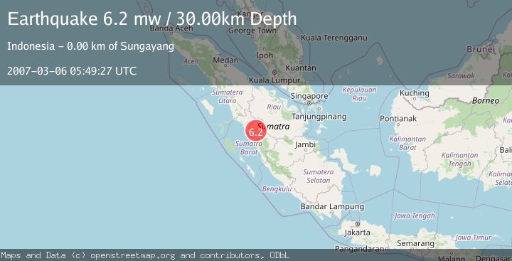
Earthquake SOUTHERN SUMATRA, INDONESIA
Tue, 06 Mar 2007 05:49:27 GMT
Time18 years ago
Location
-0.4000, 100.5700
Depth
30.0 KM
Event Summary
A 6.2 magnitude earthquake struck on SOUTHERN SUMATRA, INDONESIA, at Tue, 06 Mar 2007 05:49:27 GMT. Depth: 30km. Reviewed by EMSC seismologists, this strong quake occurred at a magnitude type of mw.
Magnitude
6.2
mw
Source
EMSC
Intensity
-
Agency Reports
1 Sources| Source | Magnitude | Depth | Time |
|---|---|---|---|
| EMSCPrimary | 6.2 | 30 km | 18 years ago |
Earthquake Details
AutomaticEvent IDemsc_EMSC_20070306_0000039
Tsunami PotentialNo
Magnitude Typemw
Nearest Places
- Nagari Kumango1.1 km
- Tarikagung1.3 km
- Kandang1.7 km
- Pasinlawas1.8 km
- Sungaitarab1.9 km
Comments
Join the discussion about this event.
Latest Earthquakes
1.3Mag
Tarapaca, Chile
Time6 minutes ago
Depth28.81 km
SourceVYT (Automatic)
1.6Mag
53 km SSE of Whites City, New Mexico
Time7 minutes ago
Depth0.00 km
SourceUSGS (Automatic)
2.0Mag
Minahassa Peninsula, Sulawesi
Time8 minutes ago
Depth2.34 km
SourceBMKG
2.6Mag
ARUNACHAL PRADESH, INDIA
Time9 minutes ago
Depth10.00 km
SourceNDI (Automatic)
2.1Mag
Southeastern Alaska
Time11 minutes ago
Depth0.00 km
SourceVYT (Automatic)
Nearby Earthquakes
5.0Mag
SOUTHERN SUMATRA, INDONESIA
Time11 years ago
Depth2.00 km
SourceEMSC (Automatic)
6.4Mag
SOUTHERN SUMATRA, INDONESIA
Time18 years ago
Depth30.00 km
SourceEMSC (Automatic)
5.0Mag
SOUTHERN SUMATRA, INDONESIA
Time18 years ago
Depth10.00 km
SourceEMSC (Automatic)
2.6Mag
SOUTHERN SUMATRA, INDONESIA
Time1 month ago
Depth10.00 km
SourceBMKG (Automatic)
4.0Mag
SOUTHERN SUMATRA, INDONESIA
Time6 years ago
Depth10.00 km
SourceDJA (Automatic)