Earthquake SOUTHERN SUMATRA, INDONESIA
Tue, 06 Mar 2007 03:49:40 GMT
Time18 years ago
Location
-0.4200, 100.4900
Depth
30.0 KM
Event Summary
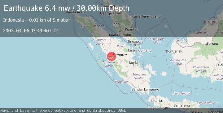
A 6.4 magnitude earthquake struck on SOUTHERN SUMATRA, INDONESIA, at Tue, 06 Mar 2007 03:49:40 GMT. Depth: 30km. Reviewed by EMSC seismologists, this strong quake occurred at a magnitude type of mw.
Magnitude
6.4
mw
Source
EMSC
Intensity
-
Agency Reports
1 Sources| Source | Magnitude | Depth | Time |
|---|---|---|---|
| EMSCPrimary | 6.4 | 30 km | 18 years ago |
Earthquake Details
AutomaticEvent IDemsc_EMSC_20070306_0000038
Tsunami PotentialNo
Magnitude Typemw
Nearest Places
- Nagari Sungai Jambu1.1 km
- Nagari Pariangan2.0 km
- Guguk Satu2.8 km
- Bula Sarik3.2 km
- Nagari Sabu3.2 km
Comments
Join the discussion about this event.
Latest Earthquakes
1.6Mag
49 km W of Mentone, Texas
Time14 hours ago
Depth3.28 km
SourceUSGS (Automatic)
1.5Mag
Central Alaska
Time14 hours ago
Depth17.82 km
SourceVYT (Automatic)
2.2Mag
SAN FRANCISCO BAY AREA, CALIF.
Time14 hours ago
Depth6.70 km
SourceNC (Automatic)
1.9Mag
western Texas
Time14 hours ago
Depth0.00 km
SourceVYT (Automatic)
1.9Mag
Tarapaca, Chile
Time14 hours ago
Depth71.29 km
SourceVYT (Automatic)
Nearby Earthquakes
5.0Mag
SOUTHERN SUMATRA, INDONESIA
Time11 years ago
Depth2.00 km
SourceEMSC (Automatic)
4.0Mag
SOUTHERN SUMATRA, INDONESIA
Time6 years ago
Depth10.00 km
SourceDJA (Automatic)
3.0Mag
SOUTHERN SUMATRA, INDONESIA
Time5 years ago
Depth10.00 km
SourceDJA (Automatic)
6.2Mag
SOUTHERN SUMATRA, INDONESIA
Time18 years ago
Depth30.00 km
SourceEMSC (Automatic)
2.6Mag
SOUTHERN SUMATRA, INDONESIA
Time1 month ago
Depth10.00 km
SourceBMKG (Automatic)