Earthquake TIMOR REGION, INDONESIA
Tue, 18 Feb 2020 06:01:07 GMT
Time6 years ago
Location
-10.4400, 124.2600
Depth
13.0 KM
Event Summary
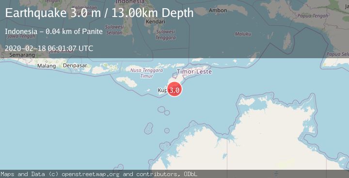
A 3.0 magnitude earthquake struck on TIMOR REGION, INDONESIA, at Tue, 18 Feb 2020 06:01:07 GMT. Depth: 13km. Reviewed by DJA seismologists, this minor quake occurred at a magnitude type of m.
Magnitude
3.0
m
Source
DJA
Intensity
-
Agency Reports
1 Sources| Source | Magnitude | Depth | Time |
|---|---|---|---|
| DJAPrimary | 3.0 | 13 km | 6 years ago |
Earthquake Details
AutomaticEvent IDemsc_DJA_20200218_0000076
Tsunami PotentialNo
Magnitude Typem
Nearest Places
- Teluk Noilmina29.3 km
- Nifu Kubai31.0 km
- Oesuenu31.0 km
- Tanjung Fautusi31.4 km
- Noel Mina31.4 km
Comments
Join the discussion about this event.
Latest Earthquakes
1.6Mag
Kenai Peninsula, Alaska
Time4 minutes ago
Depth42.60 km
SourceVYT (Automatic)
2.4Mag
Finland
Time6 minutes ago
Depth301.88 km
SourceVYT (Automatic)
1.2Mag
Alaska Peninsula
Time7 minutes ago
Depth0.12 km
SourceVYT (Automatic)
4.1Mag
NEAR COAST OF NORTHERN PERU
Time12 minutes ago
Depth35.00 km
SourceLIM (Automatic)
3.1Mag
DODECANESE IS.-TURKEY BORDER REG
Time13 minutes ago
Depth4.10 km
SourceKOERI (Automatic)
Nearby Earthquakes
3.0Mag
TIMOR REGION, INDONESIA
Time10 months ago
Depth21.00 km
SourceBMKG (Automatic)
5.1Mag
TIMOR REGION, INDONESIA
Time5 years ago
Depth30.00 km
SourceEMSC (Automatic)
3.0Mag
TIMOR REGION, INDONESIA
Time5 years ago
Depth10.00 km
SourceDJA (Automatic)
2.1Mag
Timor Region
Time1 week ago
Depth27.72 km
SourceBMKG (Automatic)
2.5Mag
TIMOR REGION, INDONESIA
Time1 month ago
Depth5.00 km
SourceBMKG (Automatic)