Earthquake NORTHERN SUMATRA, INDONESIA
Fri, 17 Jul 2020 02:54:30 GMT
Time5 years ago
Location
3.2800, 97.0600
Depth
30.0 KM
Event Summary
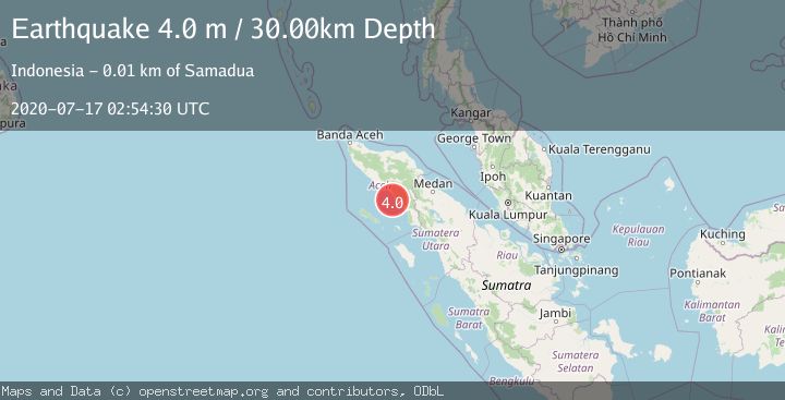
A 4.0 magnitude earthquake struck on NORTHERN SUMATRA, INDONESIA, at Fri, 17 Jul 2020 02:54:30 GMT. Depth: 30km. Reviewed by DJA seismologists, this light quake occurred at a magnitude type of m.
Magnitude
4.0
m
Source
DJA
Intensity
-
Agency Reports
1 Sources| Source | Magnitude | Depth | Time |
|---|---|---|---|
| DJAPrimary | 4.0 | 30 km | 5 years ago |
Earthquake Details
AutomaticEvent IDemsc_DJA_20200717_0000011
Tsunami PotentialNo
Magnitude Typem
Nearest Places
- Batu Berlayar6.4 km
- Gunung Cut9.0 km
- Gampong Gunung Cut9.1 km
- Kuta Blang9.2 km
- Batee Tunggai9.5 km
Comments
Join the discussion about this event.
Latest Earthquakes
2.0Mag
Poland
Time1 minute ago
Depth0.49 km
SourceVYT (Automatic)
1.9Mag
Antofagasta, Chile
Time4 minutes ago
Depth9.40 km
SourceVYT (Automatic)
1.3Mag
8 km NW of The Geysers, CA
Time4 minutes ago
Depth2.00 km
SourceUSGS (Automatic)
1.2Mag
63 km WNW of Toyah, Texas
Time7 minutes ago
Depth0.08 km
SourceUSGS (Automatic)
1.4Mag
12 km SSW of Salton City, CA
Time11 minutes ago
Depth5.74 km
SourceUSGS (Automatic)
Nearby Earthquakes
5.8Mag
NORTHERN SUMATRA, INDONESIA
Time1 year ago
Depth54.00 km
SourceEMSC (Automatic)
3.0Mag
NORTHERN SUMATRA, INDONESIA
Time8 months ago
Depth17.00 km
SourceBMKG (Automatic)
2.6Mag
NORTHERN SUMATRA, INDONESIA
Time1 month ago
Depth43.00 km
SourceBMKG (Automatic)
5.1Mag
NORTHERN SUMATRA, INDONESIA
Time20 years ago
Depth60.00 km
SourceEMSC (Automatic)
5.0Mag
NORTHERN SUMATRA, INDONESIA
Time7 months ago
Depth29.00 km
SourceEMSC (Automatic)