Earthquake SUNDA STRAIT, INDONESIA
Sat, 12 Sep 2020 05:33:51 GMT
Time5 years ago
Location
-6.3800, 104.7300
Depth
10.0 KM
Event Summary
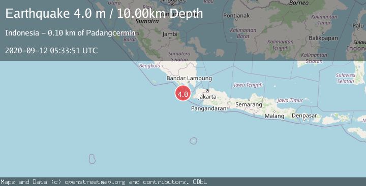
A 4.0 magnitude earthquake struck on SUNDA STRAIT, INDONESIA, at Sat, 12 Sep 2020 05:33:51 GMT. Depth: 10km. Reviewed by DJA seismologists, this light quake occurred at a magnitude type of m.
Magnitude
4.0
m
Source
DJA
Intensity
-
Agency Reports
1 Sources| Source | Magnitude | Depth | Time |
|---|---|---|---|
| DJAPrimary | 4.0 | 10 km | 5 years ago |
Earthquake Details
AutomaticEvent IDemsc_DJA_20200912_0000045
Tsunami PotentialNo
Magnitude Typem
Nearest Places
- Tanjung Cuku Balimbing25.9 km
- Cukuredak Seamount30.3 km
- Ci Panaitan47.6 km
- Tanjung Baturendang48.3 km
- Legon Mandar48.6 km
Comments
Join the discussion about this event.
Latest Earthquakes
2.7Mag
Near North Coast of West Papua
Time10 minutes ago
Depth45.06 km
SourceBMKG
1.2Mag
Central Alaska
Time11 minutes ago
Depth0.85 km
SourceVYT (Automatic)
2.6Mag
West Papua Region, Indonesia
Time14 minutes ago
Depth10.00 km
SourceBMKG
2.3Mag
WESTERN TURKEY
Time17 minutes ago
Depth10.10 km
SourceKOERI (Automatic)
2.6Mag
Antofagasta, Chile
Time18 minutes ago
Depth0.00 km
SourceVYT (Automatic)
Nearby Earthquakes
4.0Mag
SUNDA STRAIT, INDONESIA
Time5 years ago
Depth14.00 km
SourceNEIC (Automatic)
5.1Mag
SUNDA STRAIT, INDONESIA
Time8 years ago
Depth69.00 km
SourceEMSC (Automatic)
3.0Mag
SUNDA STRAIT, INDONESIA
Time2 years ago
Depth24.00 km
SourceBMKG (Automatic)
3.0Mag
SUNDA STRAIT, INDONESIA
Time5 years ago
Depth10.00 km
SourceDJA (Automatic)
5.4Mag
SUNDA STRAIT, INDONESIA
Time7 months ago
Depth49.70 km
SourceEMSC (Automatic)