Earthquake Near North Coast of West Papua
Wed, 18 Feb 2026 18:48:21 GMT
Time1 hour ago
Location
-1.8289, 139.7540
Depth
10.0 KM
Event Summary
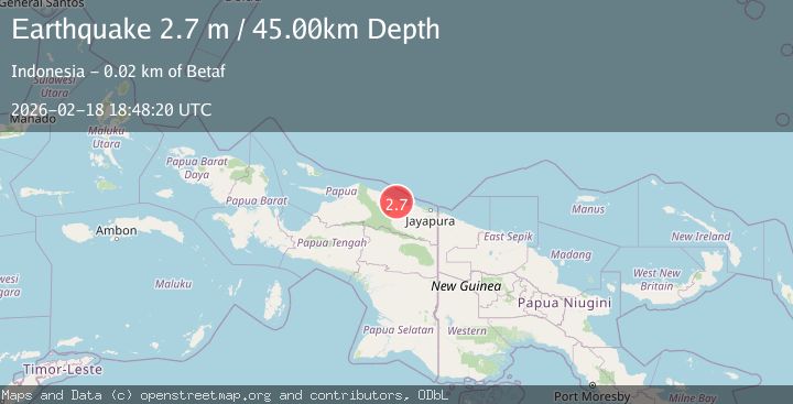
A 2.6 magnitude earthquake struck on Near North Coast of West Papua, at Wed, 18 Feb 2026 18:48:21 GMT. Depth: 10km. Reviewed by BMKG seismologists, this minor quake occurred at a magnitude type of M.
Magnitude
2.6
M
Source
BMKG
Intensity
-
Agency Reports
1 Sources| Source | Magnitude | Depth | Time |
|---|---|---|---|
| BMKGPrimary | 2.6 | 10 km | 1 hour ago |
Earthquake Details
ManualEvent IDbmg2026dldj
Tsunami PotentialNo
Magnitude TypeM
Nearest Places
- Pulau Anus43.2 km
- Pulau Yarsun44.7 km
- Pulau Podena45.7 km
- Kepulauan Podena45.8 km
- Pulau Mengge46.7 km
Comments
Join the discussion about this event.
Latest Earthquakes
1.2Mag
Central Alaska
Time1 hour ago
Depth0.85 km
SourceVYT (Automatic)
2.6Mag
West Papua Region, Indonesia
Time1 hour ago
Depth10.00 km
SourceBMKG
2.3Mag
WESTERN TURKEY
Time1 hour ago
Depth10.10 km
SourceKOERI (Automatic)
2.6Mag
Antofagasta, Chile
Time1 hour ago
Depth0.00 km
SourceVYT (Automatic)
2.8Mag
Fox Islands, Aleutian Islands, Alaska
Time1 hour ago
Depth80.44 km
SourceVYT (Automatic)
Nearby Earthquakes
5.6Mag
NEAR N COAST OF PAPUA, INDONESIA
Time7 years ago
Depth20.00 km
SourceEMSC (Automatic)
3.3Mag
NEAR N COAST OF PAPUA, INDONESIA
Time1 week ago
Depth6.00 km
SourceBMKG (Automatic)
3.0Mag
NEAR N COAST OF PAPUA, INDONESIA
Time1 month ago
Depth13.00 km
SourceBMKG (Automatic)
2.5Mag
Near North Coast of West Papua
Time3 weeks ago
Depth10.00 km
SourceBMKG (Automatic)
2.8Mag
NEAR N COAST OF PAPUA, INDONESIA
Time1 month ago
Depth10.00 km
SourceBMKG (Automatic)