Earthquake Kenai Peninsula, Alaska
Thu, 19 Feb 2026 11:43:33 GMT
Time2 hours ago
Location
60.6376, -151.9150
Depth
2.1 KM
Event Summary
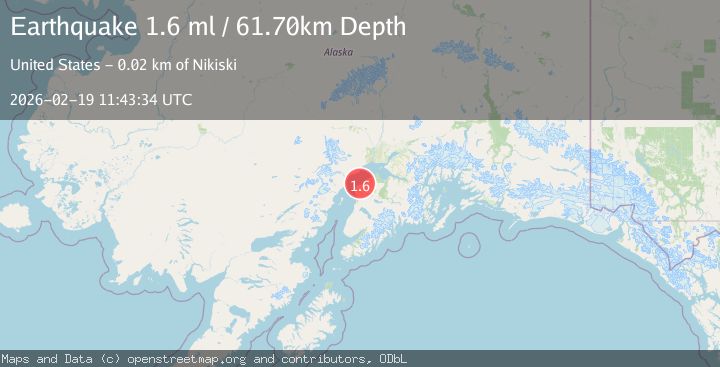
A 1.7 magnitude earthquake struck on Kenai Peninsula, Alaska, at Thu, 19 Feb 2026 11:43:33 GMT. Depth: 2.0751953125km. Reviewed by VYT seismologists, this minor quake occurred at a magnitude type of earthquake.
Magnitude
1.7
earthquake
Source
VYT
Intensity
-
Agency Reports
2 Sources| Source | Magnitude | Depth | Time |
|---|---|---|---|
| VYTPrimary | 1.7 | 2 km | 2 hours ago |
| USGS | 1.6 | 62 km | 2 hours ago |
Earthquake Details
AutomaticEvent IDvyt_3ljf0kptqmnm0
Tsunami PotentialNo
Magnitude Typeearthquake
Nearest Places
- Big River7.4 km
- Seal River7.9 km
- Montana Bill Creek8.5 km
- Johnson Slough9.0 km
- Redoubt Bay9.5 km
Comments
Join the discussion about this event.
Latest Earthquakes
3.4Mag
western Texas
Time2 hours ago
Depth2.32 km
SourceVYT (Automatic)
1.3Mag
Southern Alaska
Time2 hours ago
Depth0.00 km
SourceVYT (Automatic)
1.8Mag
WESTERN TURKEY
Time2 hours ago
Depth7.00 km
SourceAFAD (Automatic)
2.5Mag
FRANCE
Time2 hours ago
Depth5.00 km
SourceReNaSS (Automatic)
2.5Mag
Central Alaska
Time2 hours ago
Depth0.00 km
SourceVYT (Automatic)
Nearby Earthquakes
4.0Mag
KENAI PENINSULA, ALASKA
Time3 years ago
Depth84.00 km
SourceNEIC (Automatic)
2.4Mag
KENAI PENINSULA, ALASKA
Time2 months ago
Depth82.30 km
SourceNEIC (Automatic)
1.5Mag
27 km W of Salamatof, Alaska
Time1 week ago
Depth81.30 km
SourceUSGS
1.8Mag
Kenai Peninsula, Alaska
Time3 hours ago
Depth17.09 km
SourceVYT (Automatic)
1.3Mag
Southern Alaska
Time1 week ago
Depth74.46 km
SourceVYT (Automatic)