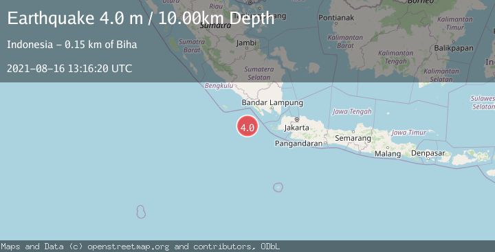
Earthquake SOUTHWEST OF SUMATRA, INDONESIA
Mon, 16 Aug 2021 13:16:20 GMT
Time4 years ago
Location
-6.6000, 103.6700
Depth
10.0 KM
Event Summary
A 4.0 magnitude earthquake struck on SOUTHWEST OF SUMATRA, INDONESIA, at Mon, 16 Aug 2021 13:16:20 GMT. Depth: 10km. Reviewed by DJA seismologists, this light quake occurred at a magnitude type of m.
Magnitude
4.0
m
Source
DJA
Intensity
-
Agency Reports
1 Sources| Source | Magnitude | Depth | Time |
|---|---|---|---|
| DJAPrimary | 4.0 | 10 km | 4 years ago |
Earthquake Details
AutomaticEvent IDemsc_DJA_20210816_0000112
Tsunami PotentialNo
Magnitude Typem
Nearest Places
- 67.3 km
- 93.7 km
- 116.2 km
- 124.1 km
- 124.2 km
Comments
Join the discussion about this event.
Latest Earthquakes
4.3Mag
Minahasa, Sulawesi, Indonesia
Time4 hours ago
Depth15.50 km
SourceVYT (Automatic)
1.5Mag
20 km E of Little Lake, CA
Time4 hours ago
Depth2.30 km
SourceUSGS (Automatic)
0.5Mag
56 km WNW of Beluga, Alaska
Time4 hours ago
Depth7.90 km
SourceUSGS (Automatic)
0.7Mag
8 km NW of The Geysers, CA
Time4 hours ago
Depth1.58 km
SourceUSGS (Automatic)
0.6Mag
8 km ESE of Palomar Observatory, CA
Time4 hours ago
Depth16.66 km
SourceUSGS (Automatic)
Nearby Earthquakes
5.0Mag
SOUTHWEST OF SUMATRA, INDONESIA
Time19 years ago
Depth30.00 km
SourceEMSC (Automatic)
3.3Mag
Southwest of Sumatra, Indonesia
Time1 month ago
Depth10.00 km
SourceBMKG (Automatic)
5.0Mag
SOUTHWEST OF SUMATRA, INDONESIA
Time14 years ago
Depth15.00 km
SourceEMSC (Automatic)
4.0Mag
SOUTHWEST OF SUMATRA, INDONESIA
Time0 years ago
Depth10.00 km
SourceBMKG (Automatic)
3.0Mag
SOUTHWEST OF SUMATRA, INDONESIA
Time8 months ago
Depth10.00 km
SourceBMKG (Automatic)