Earthquake Minahasa, Sulawesi, Indonesia
Thu, 05 Mar 2026 01:22:21 GMT
Time2 hours ago
Location
0.7550, 120.0309
Depth
15.5 KM
Event Summary
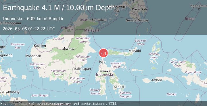
A 4.3 magnitude earthquake struck on Minahasa, Sulawesi, Indonesia, at Thu, 05 Mar 2026 01:22:21 GMT. Depth: 15.5029296875km. Reviewed by VYT seismologists, this light quake occurred at a magnitude type of M.
Magnitude
4.3
M
Source
VYT
Intensity
-
Agency Reports
1 Sources| Source | Magnitude | Depth | Time |
|---|---|---|---|
| VYTPrimary | 4.3 | 16 km | 2 hours ago |
Earthquake Details
AutomaticEvent IDvyt_2uw74mb8lxayh
Tsunami PotentialNo
Magnitude TypeM
Nearest Places
- 3.4 km
- 4.3 km
- 4.5 km
- 5.0 km
- 5.3 km
Comments
Join the discussion about this event.
Latest Earthquakes
1.5Mag
20 km E of Little Lake, CA
Time2 hours ago
Depth2.30 km
SourceUSGS (Automatic)
0.5Mag
56 km WNW of Beluga, Alaska
Time2 hours ago
Depth7.90 km
SourceUSGS (Automatic)
0.7Mag
8 km NW of The Geysers, CA
Time2 hours ago
Depth1.58 km
SourceUSGS (Automatic)
0.6Mag
8 km ESE of Palomar Observatory, CA
Time2 hours ago
Depth16.66 km
SourceUSGS (Automatic)
2.3Mag
Fox Islands, Aleutian Islands, Alaska
Time2 hours ago
Depth2.32 km
SourceVYT (Automatic)
Nearby Earthquakes
4.0Mag
MINAHASA, SULAWESI, INDONESIA
Time4 years ago
Depth10.00 km
SourceDJA (Automatic)
3.6Mag
Minahassa Peninsula, Sulawesi
Time0 months ago
Depth3.49 km
SourceBMKG (Automatic)
3.0Mag
MINAHASA, SULAWESI, INDONESIA
Time5 years ago
Depth10.00 km
SourceDJA (Automatic)
5.1Mag
MINAHASA, SULAWESI, INDONESIA
Time1 year ago
Depth40.00 km
SourceEMSC (Automatic)
2.5Mag
Minahassa Peninsula, Sulawesi
Time1 month ago
Depth40.29 km
SourceBMKG (Automatic)