Earthquake NIAS REGION, INDONESIA
Mon, 14 Feb 2005 17:06:53 GMT
Time21 years ago
Location
0.6800, 98.6900
Depth
33.0 KM
Event Summary
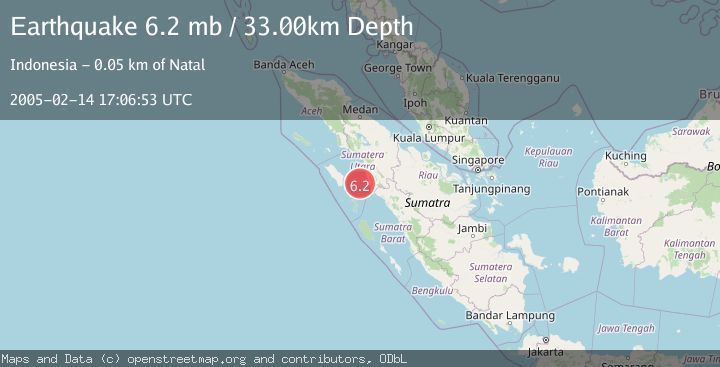
A 6.2 magnitude earthquake struck on NIAS REGION, INDONESIA, at Mon, 14 Feb 2005 17:06:53 GMT. Depth: 33km. Reviewed by EMSC seismologists, this strong quake occurred at a magnitude type of mb.
Magnitude
6.2
mb
Source
EMSC
Intensity
-
Agency Reports
1 Sources| Source | Magnitude | Depth | Time |
|---|---|---|---|
| EMSCPrimary | 6.2 | 33 km | 21 years ago |
Earthquake Details
AutomaticEvent IDemsc_EMSC_20050214_0000026
Tsunami PotentialNo
Magnitude Typemb
Nearest Places
- Batu Simunu32.5 km
- Pulau Tonga33.4 km
- Pulau Sidakah35.0 km
- Pulau Labu35.6 km
- Ujung Tabuyung36.4 km
Comments
Join the discussion about this event.
Latest Earthquakes
2.4Mag
western Texas
Time1 minute ago
Depth22.83 km
SourceVYT (Automatic)
3.7Mag
Fox Islands, Aleutian Islands, Alaska
Time3 minutes ago
Depth11.96 km
SourceVYT (Automatic)
2.7Mag
Timor Region
Time6 minutes ago
Depth14.44 km
SourceBMKG
2.2Mag
Halmahera, Indonesia
Time8 minutes ago
Depth4.36 km
SourceBMKG
2.0Mag
Central Alaska
Time13 minutes ago
Depth65.43 km
SourceVYT (Automatic)
Nearby Earthquakes
3.0Mag
NIAS REGION, INDONESIA
Time1 year ago
Depth10.00 km
SourceBMKG (Automatic)
3.0Mag
NIAS REGION, INDONESIA
Time3 years ago
Depth68.00 km
SourceDJA (Automatic)
5.0Mag
NIAS REGION, INDONESIA
Time18 years ago
Depth80.00 km
SourceEMSC (Automatic)
3.1Mag
Northern Sumatra, Indonesia
Time9 hours ago
Depth14.69 km
SourceBMKG
3.0Mag
NIAS REGION, INDONESIA
Time2 years ago
Depth27.00 km
SourceBMKG (Automatic)