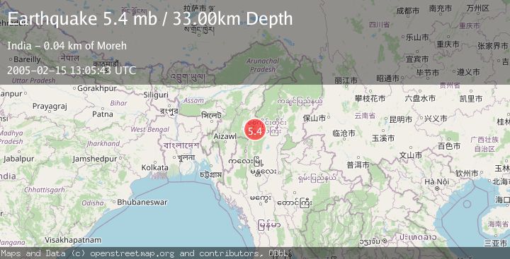
Earthquake MYANMAR-INDIA BORDER REGION
Tue, 15 Feb 2005 13:05:43 GMT
Time21 years ago
Location
24.4300, 94.6100
Depth
33.0 KM
Event Summary
A 5.4 magnitude earthquake struck on MYANMAR-INDIA BORDER REGION, at Tue, 15 Feb 2005 13:05:43 GMT. Depth: 33km. Reviewed by EMSC seismologists, this moderate quake occurred at a magnitude type of mb.
Magnitude
5.4
mb
Source
EMSC
Intensity
-
Agency Reports
1 Sources| Source | Magnitude | Depth | Time |
|---|---|---|---|
| EMSCPrimary | 5.4 | 33 km | 21 years ago |
Earthquake Details
AutomaticEvent IDemsc_EMSC_20050215_0000032
Tsunami PotentialNo
Magnitude Typemb
Nearest Places
- 1.3 km
- 2.4 km
- 6.1 km
- 6.4 km
- 7.0 km
Comments
Join the discussion about this event.
Latest Earthquakes
2.5Mag
South of Java, Indonesia
Time1 hour ago
Depth162.67 km
SourceBMKG
0.6Mag
9 km NW of The Geysers, CA
Time1 hour ago
Depth2.06 km
SourceUSGS (Automatic)
1.2Mag
WESTERN TURKEY
Time1 hour ago
Depth7.60 km
SourceAFAD (Automatic)
3.5Mag
Flores region, Indonesia
Time1 hour ago
Depth638.55 km
SourceVYT (Automatic)
3.2Mag
South of Java, Indonesia
Time1 hour ago
Depth64.99 km
SourceBMKG
Nearby Earthquakes
5.5Mag
MYANMAR-INDIA BORDER REGION
Time16 years ago
Depth92.00 km
SourceEMSC (Automatic)
4.0Mag
MYANMAR-INDIA BORDER REGION
Time5 years ago
Depth30.00 km
SourceNDI (Automatic)
5.9Mag
MYANMAR-INDIA BORDER REGION
Time16 years ago
Depth100.00 km
SourceEMSC (Automatic)
3.0Mag
MYANMAR-INDIA BORDER REGION
Time5 years ago
Depth60.00 km
SourceNDI (Automatic)
3.0Mag
MYANMAR-INDIA BORDER REGION
Time3 years ago
Depth50.00 km
SourceNDI (Automatic)