Earthquake MOLUCCA SEA
Thu, 17 Feb 2005 16:42:45 GMT
Time21 years ago
Location
0.9400, 125.9400
Depth
33.0 KM
Event Summary
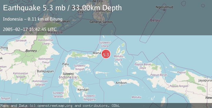
A 5.3 magnitude earthquake struck on MOLUCCA SEA, at Thu, 17 Feb 2005 16:42:45 GMT. Depth: 33km. Reviewed by EMSC seismologists, this moderate quake occurred at a magnitude type of mb.
Magnitude
5.3
mb
Source
EMSC
Intensity
-
Agency Reports
1 Sources| Source | Magnitude | Depth | Time |
|---|---|---|---|
| EMSCPrimary | 5.3 | 33 km | 21 years ago |
Earthquake Details
AutomaticEvent IDemsc_EMSC_20050217_0000035
Tsunami PotentialNo
Magnitude Typemb
Nearest Places
- Kelurahan Pantai Sagu22.2 km
- Pulau Tifore22.6 km
- Kelurahan Tifure23.0 km
- Pulau Gureda23.7 km
- Maluku Sea49.4 km
Comments
Join the discussion about this event.
Latest Earthquakes
2.8Mag
OFFSHORE EL SALVADOR
Time3 minutes ago
Depth18.00 km
SourceINET (Automatic)
1.6Mag
Pyrenees
Time7 minutes ago
Depth0.00 km
SourceVYT (Automatic)
1.0Mag
110 km S of McCarthy, Alaska
Time8 minutes ago
Depth16.50 km
SourceUSGS (Automatic)
0.7Mag
Southern Alaska
Time15 minutes ago
Depth0.00 km
SourceVYT (Automatic)
2.4Mag
Minahassa Peninsula, Sulawesi
Time17 minutes ago
Depth9.93 km
SourceBMKG
Nearby Earthquakes
3.0Mag
MOLUCCA SEA
Time1 year ago
Depth14.00 km
SourceBMKG (Automatic)
5.5Mag
MOLUCCA SEA
Time18 years ago
Depth20.00 km
SourceEMSC (Automatic)
3.8Mag
MOLUCCA SEA
Time1 month ago
Depth40.00 km
SourceBMKG (Automatic)
5.2Mag
MOLUCCA SEA
Time18 years ago
Depth10.00 km
SourceEMSC (Automatic)
3.0Mag
MOLUCCA SEA
Time4 months ago
Depth64.00 km
SourceBMKG (Automatic)