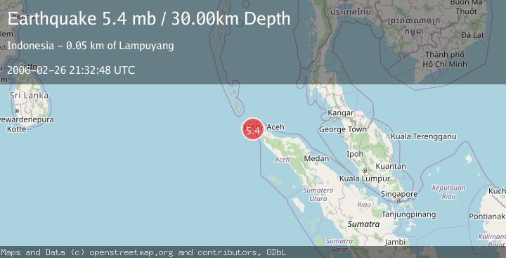
Earthquake NORTHERN SUMATRA, INDONESIA
Sun, 26 Feb 2006 21:32:48 GMT
Time19 years ago
Location
5.7800, 94.7300
Depth
30.0 KM
Event Summary
A 5.4 magnitude earthquake struck on NORTHERN SUMATRA, INDONESIA, at Sun, 26 Feb 2006 21:32:48 GMT. Depth: 30km. Reviewed by EMSC seismologists, this moderate quake occurred at a magnitude type of mb.
Magnitude
5.4
mb
Source
EMSC
Intensity
-
Agency Reports
1 Sources| Source | Magnitude | Depth | Time |
|---|---|---|---|
| EMSCPrimary | 5.4 | 30 km | 19 years ago |
Earthquake Details
AutomaticEvent IDemsc_EMSC_20060226_0000068
Tsunami PotentialNo
Magnitude Typemb
Nearest Places
- Pulau Benggala26.6 km
- Pulau Mirah28.1 km
- Terumbu Sarang28.2 km
- Pulau Guasarang31.3 km
- Ujung Silalang31.8 km
Comments
Join the discussion about this event.
Latest Earthquakes
3.7Mag
Southern Alaska
Time1 minute ago
Depth9.77 km
SourceVYT (Automatic)
1.3Mag
7 km NE of Coso Junction, CA
Time4 minutes ago
Depth5.86 km
SourceUSGS (Automatic)
1.1Mag
31 km WSW of Ackerly, Texas
Time10 minutes ago
Depth3.93 km
SourceUSGS (Automatic)
2.4Mag
West Papua Region, Indonesia
Time18 minutes ago
Depth10.00 km
SourceBMKG
3.3Mag
Talaud Islands, Indonesia
Time19 minutes ago
Depth10.00 km
SourceBMKG
Nearby Earthquakes
5.9Mag
NORTHERN SUMATRA, INDONESIA
Time21 years ago
Depth33.00 km
SourceEMSC (Automatic)
5.8Mag
NORTHERN SUMATRA, INDONESIA
Time20 years ago
Depth33.00 km
SourceEMSC (Automatic)
5.4Mag
NORTHERN SUMATRA, INDONESIA
Time21 years ago
Depth33.00 km
SourceEMSC (Automatic)
5.8Mag
NORTHERN SUMATRA, INDONESIA
Time21 years ago
Depth33.00 km
SourceEMSC (Automatic)
5.5Mag
NORTHERN SUMATRA, INDONESIA
Time21 years ago
Depth10.00 km
SourceEMSC (Automatic)