Earthquake STRAIT OF GIBRALTAR
Thu, 02 Mar 2006 04:18:16 GMT
Time19 years ago
Location
36.7866, -7.3808
Depth
48.2 KM
Event Summary
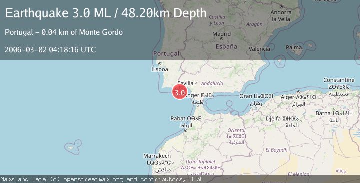
A 3.0 magnitude earthquake struck on STRAIT OF GIBRALTAR, at Thu, 02 Mar 2006 04:18:16 GMT. Depth: 48.2km. Reviewed by EMSC seismologists, this minor quake occurred at a magnitude type of ML.
Magnitude
3.0
ML
Source
EMSC
Intensity
-
Agency Reports
1 Sources| Source | Magnitude | Depth | Time |
|---|---|---|---|
| EMSCPrimary | 3.0 | 48 km | 19 years ago |
Earthquake Details
AutomaticEvent IDemsc_EMSC_20060302_0000096
Tsunami PotentialNo
Magnitude TypeML
Nearest Places
- Golfo de Cádiz19.8 km
- Praia do Barril41.6 km
- Praia da Terra Estreita41.6 km
- Ilha de Tavira41.8 km
- Praia das Cascas41.9 km
Comments
Join the discussion about this event.
Latest Earthquakes
2.6Mag
West Papua Region, Indonesia
Time3 minutes ago
Depth17.35 km
SourceBMKG
2.8Mag
Antofagasta, Chile
Time7 minutes ago
Depth0.00 km
SourceVYT (Automatic)
3.3Mag
Near North Coast of West Papua
Time8 minutes ago
Depth10.00 km
SourceBMKG
2.5Mag
off the coast of Tarapaca, Chile
Time9 minutes ago
Depth0.00 km
SourceVYT (Automatic)
2.6Mag
Sunda Strait, Indonesia
Time10 minutes ago
Depth8.74 km
SourceBMKG
Nearby Earthquakes
1.7Mag
STRAIT OF GIBRALTAR
Time1 month ago
Depth0.00 km
SourceIGN (Automatic)
2.0Mag
STRAIT OF GIBRALTAR
Time3 weeks ago
Depth30.00 km
SourceIGN (Automatic)
3.0Mag
STRAIT OF GIBRALTAR
Time22 years ago
Depth40.00 km
SourceEMSC (Automatic)
3.0Mag
STRAIT OF GIBRALTAR
Time10 years ago
Depth40.00 km
SourceEMSC (Automatic)
3.0Mag
STRAIT OF GIBRALTAR
Time21 years ago
Depth19.20 km
SourceEMSC (Automatic)