Earthquake SOUTH OF JAVA, INDONESIA
Mon, 17 Jul 2006 16:09:50 GMT
Time19 years ago
Location
-9.3900, 108.7600
Depth
10.0 KM
Event Summary
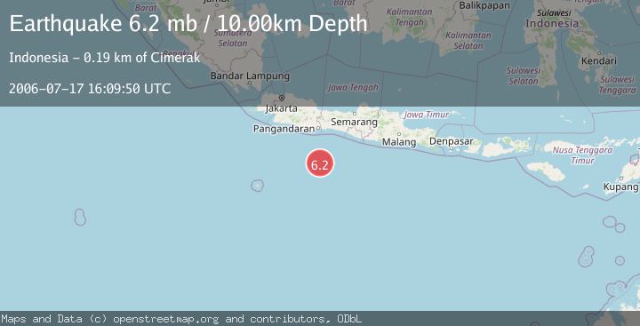
A 6.2 magnitude earthquake struck on SOUTH OF JAVA, INDONESIA, at Mon, 17 Jul 2006 16:09:50 GMT. Depth: 10km. Reviewed by EMSC seismologists, this strong quake occurred at a magnitude type of mb.
Magnitude
6.2
mb
Source
EMSC
Intensity
-
Agency Reports
1 Sources| Source | Magnitude | Depth | Time |
|---|---|---|---|
| EMSCPrimary | 6.2 | 2 km | 19 years ago |
Earthquake Details
AutomaticEvent IDemsc_EMSC_20060717_0000088
Tsunami PotentialNo
Magnitude Typemb
Nearest Places
- Java Ridge29.0 km
- Sunda Trough102.1 km
- Umbgrove Seamount167.6 km
- Tanjung Cimiring178.0 km
- Muara Cipeuteuy178.7 km
Comments
Join the discussion about this event.
Latest Earthquakes
2.7Mag
Near North Coast of West Papua
Time9 minutes ago
Depth45.06 km
SourceBMKG
1.2Mag
Central Alaska
Time10 minutes ago
Depth0.85 km
SourceVYT (Automatic)
2.6Mag
West Papua Region, Indonesia
Time13 minutes ago
Depth10.00 km
SourceBMKG
2.3Mag
WESTERN TURKEY
Time16 minutes ago
Depth10.10 km
SourceKOERI (Automatic)
2.6Mag
Antofagasta, Chile
Time17 minutes ago
Depth0.00 km
SourceVYT (Automatic)
Nearby Earthquakes
5.5Mag
SOUTH OF JAVA, INDONESIA
Time19 years ago
Depth10.00 km
SourceEMSC (Automatic)
3.0Mag
SOUTH OF JAVA, INDONESIA
Time2 months ago
Depth10.00 km
SourceBMKG (Automatic)
5.2Mag
SOUTH OF JAVA, INDONESIA
Time19 years ago
Depth30.00 km
SourceEMSC (Automatic)
5.6Mag
SOUTH OF JAVA, INDONESIA
Time6 years ago
Depth10.00 km
SourceEMSC (Automatic)
5.2Mag
SOUTH OF JAVA, INDONESIA
Time19 years ago
Depth30.00 km
SourceEMSC (Automatic)