Earthquake SOUTH OF LOMBOK, INDONESIA
Wed, 02 Aug 2006 14:45:01 GMT
Time19 years ago
Location
-11.1600, 116.8600
Depth
2.0 KM
Event Summary
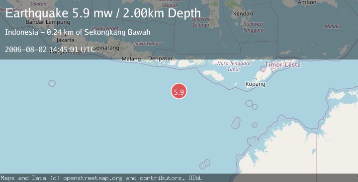
A 5.9 magnitude earthquake struck on SOUTH OF LOMBOK, INDONESIA, at Wed, 02 Aug 2006 14:45:01 GMT. Depth: 2km. Reviewed by EMSC seismologists, this moderate quake occurred at a magnitude type of mw.
Magnitude
5.9
mw
Source
EMSC
Intensity
-
Agency Reports
1 Sources| Source | Magnitude | Depth | Time |
|---|---|---|---|
| EMSCPrimary | 5.9 | 2 km | 19 years ago |
Earthquake Details
AutomaticEvent IDemsc_EMSC_20060802_0000043
Tsunami PotentialNo
Magnitude Typemw
Nearest Places
- Lombok Basin174.9 km
- Tanjung Talonan228.0 km
- Tanu Tanjunglilin229.4 km
- Tanjung Moneh229.7 km
- Batu Lawang230.6 km
Comments
Join the discussion about this event.
Latest Earthquakes
1.4Mag
4 km W of Lake Henshaw, CA
Time18 hours ago
Depth12.37 km
SourceUSGS (Automatic)
1.6Mag
41 km NW of Toyah, Texas
Time18 hours ago
Depth3.46 km
SourceUSGS (Automatic)
0.7Mag
6 km WNW of Cobb, CA
Time18 hours ago
Depth-0.59 km
SourceUSGS (Automatic)
1.0Mag
Southern Alaska
Time18 hours ago
Depth0.12 km
SourceVYT (Automatic)
2.1Mag
Sumbawa Region, Indonesia
Time18 hours ago
Depth21.86 km
SourceBMKG
Nearby Earthquakes
3.4Mag
SOUTH OF LOMBOK, INDONESIA
Time1 month ago
Depth10.00 km
SourceBMKG (Automatic)
5.0Mag
SOUTH OF LOMBOK, INDONESIA
Time9 years ago
Depth10.00 km
SourceEMSC (Automatic)
4.0Mag
SOUTH OF LOMBOK, INDONESIA
Time6 years ago
Depth10.00 km
SourceDJA (Automatic)
2.8Mag
SOUTH OF LOMBOK, INDONESIA
Time1 month ago
Depth10.00 km
SourceBMKG (Automatic)
4.0Mag
SOUTH OF LOMBOK, INDONESIA
Time5 years ago
Depth10.00 km
SourceDJA (Automatic)