Earthquake MINDANAO, PHILIPPINES
Fri, 16 Mar 2007 11:35:01 GMT
Time18 years ago
Location
9.7600, 126.3000
Depth
80.0 KM
Event Summary
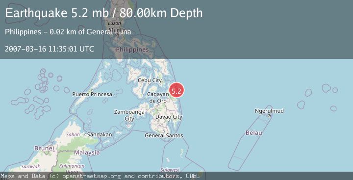
A 5.2 magnitude earthquake struck on MINDANAO, PHILIPPINES, at Fri, 16 Mar 2007 11:35:01 GMT. Depth: 80km. Reviewed by EMSC seismologists, this moderate quake occurred at a magnitude type of mb.
Magnitude
5.2
mb
Source
EMSC
Intensity
-
Agency Reports
1 Sources| Source | Magnitude | Depth | Time |
|---|---|---|---|
| EMSCPrimary | 5.2 | 80 km | 18 years ago |
Earthquake Details
AutomaticEvent IDemsc_EMSC_20070316_0000033
Tsunami PotentialNo
Magnitude Typemb
Nearest Places
- Guyang Island14.6 km
- Januza14.9 km
- Daco Island15.1 km
- Tuason Point15.5 km
- General Luna15.9 km
Comments
Join the discussion about this event.
Latest Earthquakes
1.0Mag
Southern Alaska
Time1 minute ago
Depth13.43 km
SourceVYT (Automatic)
2.7Mag
Southeastern Alaska
Time2 minutes ago
Depth138.92 km
SourceVYT (Automatic)
1.7Mag
8 km ENE of Calumet, Oklahoma
Time2 minutes ago
Depth6.03 km
SourceUSGS (Automatic)
3.6Mag
New Guinea, Papua New Guinea
Time7 minutes ago
Depth107.24 km
SourceBMKG
1.9Mag
Tarapaca, Chile
Time12 minutes ago
Depth21.36 km
SourceVYT (Automatic)
Nearby Earthquakes
3.9Mag
MINDANAO, PHILIPPINES
Time1 month ago
Depth10.00 km
SourcePIVS (Automatic)
3.0Mag
MINDANAO, PHILIPPINES
Time3 months ago
Depth15.00 km
SourcePIVS (Automatic)
3.0Mag
MINDANAO, PHILIPPINES
Time1 year ago
Depth24.00 km
SourcePIVS (Automatic)
3.5Mag
MINDANAO, PHILIPPINES
Time1 month ago
Depth10.00 km
SourcePIVS (Automatic)
3.0Mag
MINDANAO, PHILIPPINES
Time3 years ago
Depth7.00 km
SourcePIVS (Automatic)