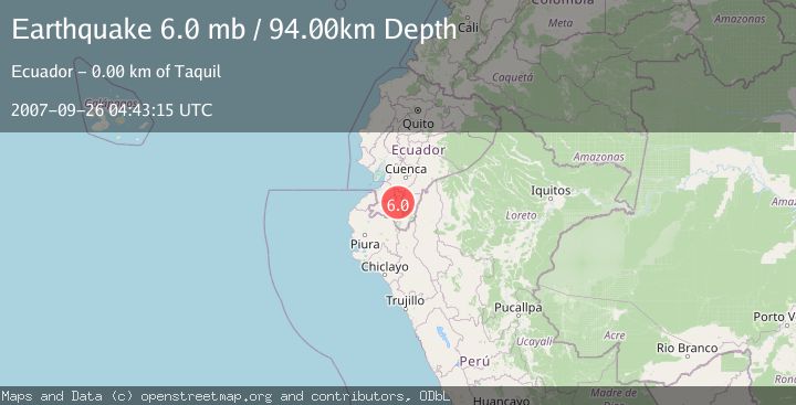
Earthquake NEAR COAST OF ECUADOR
Wed, 26 Sep 2007 04:43:15 GMT
Time18 years ago
Location
-3.8900, -79.2800
Depth
94.0 KM
Event Summary
A 6.0 magnitude earthquake struck on NEAR COAST OF ECUADOR, at Wed, 26 Sep 2007 04:43:15 GMT. Depth: 94km. Reviewed by EMSC seismologists, this strong quake occurred at a magnitude type of mb.
Magnitude
6.0
mb
Source
EMSC
Intensity
-
Agency Reports
1 Sources| Source | Magnitude | Depth | Time |
|---|---|---|---|
| EMSCPrimary | 6.0 | 94 km | 18 years ago |
Earthquake Details
AutomaticEvent IDemsc_EMSC_20070926_0000038
Tsunami PotentialNo
Magnitude Typemb
Nearest Places
- La Florida0.2 km
- Pan de Poto0.7 km
- Mote Loma1.0 km
- Taquil1.0 km
- Miraflores1.2 km
Comments
Join the discussion about this event.
Latest Earthquakes
3.0Mag
Seram, Indonesia
Time7 hours ago
Depth3.59 km
SourceBMKG
3.4Mag
Rat Islands, Aleutian Islands, Alaska
Time7 hours ago
Depth112.18 km
SourceVYT (Automatic)
3.0Mag
Timor Region
Time7 hours ago
Depth49.07 km
SourceBMKG
3.2Mag
Southern Alaska
Time7 hours ago
Depth76.29 km
SourceVYT (Automatic)
3.4Mag
KEP. TANIMBAR REGION, INDONESIA
Time7 hours ago
Depth89.00 km
SourceBMKG (Automatic)
Nearby Earthquakes
4.0Mag
NEAR COAST OF ECUADOR
Time4 years ago
Depth71.00 km
SourceEMSC (Automatic)
4.0Mag
NEAR COAST OF ECUADOR
Time1 year ago
Depth87.00 km
SourceQUI (Automatic)
5.2Mag
PERU-ECUADOR BORDER REGION
Time5 years ago
Depth100.00 km
SourceEMSC (Automatic)
5.1Mag
NEAR COAST OF ECUADOR
Time1 year ago
Depth79.00 km
SourceEMSC (Automatic)
4.0Mag
NEAR COAST OF ECUADOR
Time6 years ago
Depth46.00 km
SourceQUI (Automatic)