Earthquake MOLUCCA SEA
Wed, 06 Feb 2008 05:12:26 GMT
Time18 years ago
Location
2.0200, 127.3300
Depth
50.0 KM
Event Summary
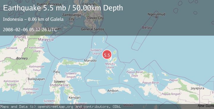
A 5.5 magnitude earthquake struck on MOLUCCA SEA, at Wed, 06 Feb 2008 05:12:26 GMT. Depth: 50km. Reviewed by EMSC seismologists, this moderate quake occurred at a magnitude type of mb.
Magnitude
5.5
mb
Source
EMSC
Intensity
-
Agency Reports
1 Sources| Source | Magnitude | Depth | Time |
|---|---|---|---|
| EMSCPrimary | 5.5 | 50 km | 18 years ago |
Earthquake Details
AutomaticEvent IDemsc_EMSC_20080206_0000072
Tsunami PotentialNo
Magnitude Typemb
Nearest Places
- Pulau Goralamo38.6 km
- Pulau Bulana38.9 km
- Pulau Sogiloga39.0 km
- Pulau Tutu39.2 km
- Tanjung Tutumadehe39.5 km
Comments
Join the discussion about this event.
Latest Earthquakes
2.8Mag
Sunda Strait, Indonesia
Time12 minutes ago
Depth3.61 km
SourceBMKG
3.6Mag
south of Alaska
Time12 minutes ago
Depth10.00 km
SourceVYT (Automatic)
1.2Mag
Central Alaska
Time14 minutes ago
Depth68.97 km
SourceVYT (Automatic)
1.2Mag
Washington
Time16 minutes ago
Depth0.00 km
SourceVYT (Automatic)
0.8Mag
10 km WNW of The Geysers, CA
Time22 minutes ago
Depth1.96 km
SourceUSGS (Automatic)
Nearby Earthquakes
2.8Mag
MOLUCCA SEA
Time1 month ago
Depth59.00 km
SourceBMKG (Automatic)
2.7Mag
HALMAHERA, INDONESIA
Time1 month ago
Depth82.00 km
SourceBMKG (Automatic)
3.0Mag
MOLUCCA SEA
Time2 years ago
Depth10.00 km
SourceDJA (Automatic)
3.0Mag
MOLUCCA SEA
Time3 years ago
Depth82.00 km
SourceDJA (Automatic)
3.0Mag
HALMAHERA, INDONESIA
Time5 months ago
Depth72.00 km
SourceBMKG (Automatic)