Earthquake 17 km S of Little Lake, CA
Thu, 19 Feb 2026 12:48:30 GMT
Time4 hours ago
Location
35.7823, -117.9435
Depth
1.7 KM
Event Summary
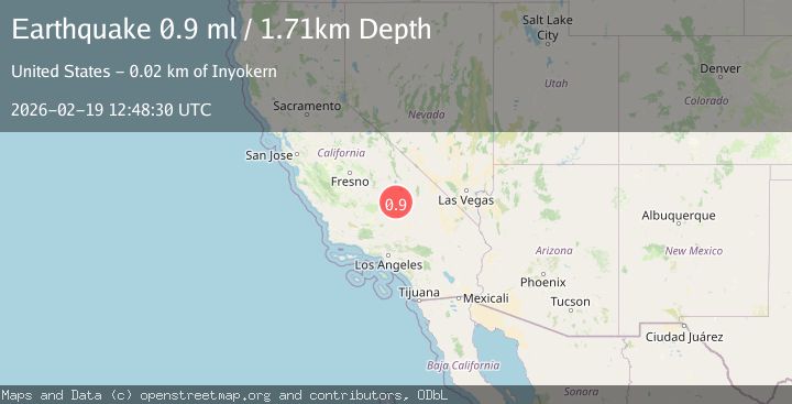
A 0.9 magnitude earthquake struck on 17 km S of Little Lake, CA, at Thu, 19 Feb 2026 12:48:30 GMT. Depth: 1.71km. Reviewed by USGS seismologists, this minor quake occurred at a magnitude type of ml.
Magnitude
0.9
ml
Source
USGS
Intensity
-
Agency Reports
1 Sources| Source | Magnitude | Depth | Time |
|---|---|---|---|
| USGSPrimary | 0.9 | 2 km | 4 hours ago |
Earthquake Details
AutomaticEvent IDusgs_ci41187919
Tsunami PotentialNo
Magnitude Typeml
Nearest Places
- South Fork Sand Canyon0.1 km
- Rodecker Flat2.1 km
- Boulder Peak2.3 km
- Boulder Canyon4.0 km
- Sand Canyon4.3 km
Comments
Join the discussion about this event.
Latest Earthquakes
2.7Mag
near the coast of Tarapaca, Chile
Time4 hours ago
Depth2.08 km
SourceVYT (Automatic)
3.4Mag
OKLAHOMA
Time4 hours ago
Depth0.40 km
SourceOK (Automatic)
3.2Mag
Oklahoma
Time4 hours ago
Depth138.92 km
SourceVYT (Automatic)
1.6Mag
Southern Alaska
Time4 hours ago
Depth17.82 km
SourceVYT (Automatic)
1.7Mag
Central Alaska
Time4 hours ago
Depth86.30 km
SourceVYT (Automatic)
Nearby Earthquakes
1.9Mag
25 km WNW of Inyokern, CA
Time1 week ago
Depth1.85 km
SourceUSGS (Automatic)
2.1Mag
Central California
Time1 week ago
Depth15.14 km
SourceVYT (Automatic)
2.0Mag
8 km NNE of Inyokern, CA
Time1 week ago
Depth6.69 km
SourceUSGS (Automatic)
3.0Mag
CENTRAL CALIFORNIA
Time6 years ago
Depth1.00 km
SourceNEIC (Automatic)
2.6Mag
Central California
Time5 days ago
Depth0.00 km
SourceVYT (Automatic)