Earthquake SOUTHERN SUMATRA, INDONESIA
Mon, 03 Mar 2008 17:48:32 GMT
Time17 years ago
Location
-4.5000, 101.3000
Depth
29.0 KM
Event Summary
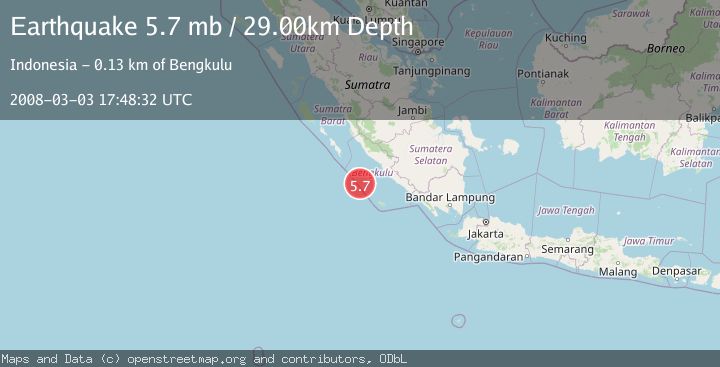
A 5.7 magnitude earthquake struck on SOUTHERN SUMATRA, INDONESIA, at Mon, 03 Mar 2008 17:48:32 GMT. Depth: 29km. Reviewed by EMSC seismologists, this moderate quake occurred at a magnitude type of mb.
Magnitude
5.7
mb
Source
EMSC
Intensity
-
Agency Reports
1 Sources| Source | Magnitude | Depth | Time |
|---|---|---|---|
| EMSCPrimary | 5.7 | 29 km | 17 years ago |
Earthquake Details
AutomaticEvent IDemsc_EMSC_20080303_0000094
Tsunami PotentialNo
Magnitude Typemb
Nearest Places
- Mentawai Trough59.9 km
- Pulau Mega63.0 km
- Lebar Reef117.0 km
- Pulau Tikus121.6 km
- Ujung Teluk Punggur125.9 km
Comments
Join the discussion about this event.
Latest Earthquakes
1.8Mag
8 km SSW of Dayton, Nevada
Time5 minutes ago
Depth2.65 km
SourceUSGS (Automatic)
1.4Mag
6 km SSW of Idyllwild, CA
Time10 minutes ago
Depth15.02 km
SourceUSGS (Automatic)
2.4Mag
western Texas
Time11 minutes ago
Depth6.10 km
SourceVYT (Automatic)
2.8Mag
Southern Alaska
Time14 minutes ago
Depth14.04 km
SourceVYT (Automatic)
2.4Mag
Southern Alaska
Time16 minutes ago
Depth139.28 km
SourceVYT (Automatic)
Nearby Earthquakes
5.4Mag
SOUTHERN SUMATRA, INDONESIA
Time15 years ago
Depth27.00 km
SourceEMSC (Automatic)
5.9Mag
SOUTHERN SUMATRA, INDONESIA
Time6 years ago
Depth10.00 km
SourceEMSC (Automatic)
5.7Mag
SOUTHERN SUMATRA, INDONESIA
Time15 years ago
Depth25.00 km
SourceEMSC (Automatic)
5.1Mag
SOUTHERN SUMATRA, INDONESIA
Time19 years ago
Depth10.00 km
SourceEMSC (Automatic)
5.0Mag
SOUTHERN SUMATRA, INDONESIA
Time15 years ago
Depth52.00 km
SourceEMSC (Automatic)