Earthquake KODIAK ISLAND REGION, ALASKA
Fri, 02 Jan 2009 14:17:12 GMT
Time17 years ago
Location
58.5300, -152.2700
Depth
54.0 KM
Event Summary
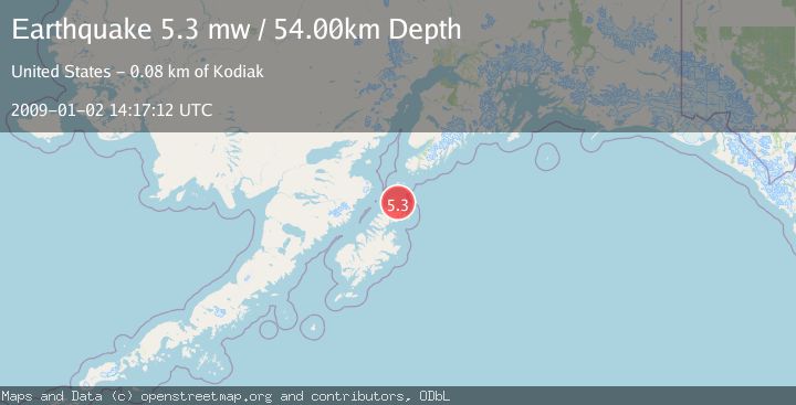
A 5.3 magnitude earthquake struck on KODIAK ISLAND REGION, ALASKA, at Fri, 02 Jan 2009 14:17:12 GMT. Depth: 54km. Reviewed by EMSC seismologists, this moderate quake occurred at a magnitude type of mw.
Magnitude
5.3
mw
Source
EMSC
Intensity
-
Agency Reports
1 Sources| Source | Magnitude | Depth | Time |
|---|---|---|---|
| EMSCPrimary | 5.3 | 54 km | 17 years ago |
Earthquake Details
AutomaticEvent IDemsc_EMSC_20090102_0000073
Tsunami PotentialNo
Magnitude Typemw
Nearest Places
- Sea Otter Island3.1 km
- Ermine Island4.7 km
- Little Fort Island7.0 km
- Little Fork Island7.1 km
- Tetrakof Point7.4 km
Comments
Join the discussion about this event.
Latest Earthquakes
2.8Mag
Sulawesi, Indonesia
Time1 minute ago
Depth21.08 km
SourceBMKG
2.1Mag
WESTERN TURKEY
Time5 minutes ago
Depth12.30 km
SourceKOERI (Automatic)
2.2Mag
Alaska Peninsula
Time6 minutes ago
Depth57.74 km
SourceVYT (Automatic)
3.7Mag
WESTERN TURKEY
Time8 minutes ago
Depth13.30 km
SourceKOERI (Automatic)
1.6Mag
27 km ESE of Balmorhea, Texas
Time9 minutes ago
Depth3.56 km
SourceUSGS (Automatic)
Nearby Earthquakes
3.3Mag
KODIAK ISLAND REGION, ALASKA
Time2 weeks ago
Depth19.20 km
SourceAK (Automatic)
2.8Mag
76 km NNE of Aleneva, Alaska
Time2 weeks ago
Depth26.90 km
SourceUSGS (Automatic)
2.4Mag
Kodiak Island region, Alaska
Time12 hours ago
Depth54.08 km
SourceVYT (Automatic)
3.0Mag
KODIAK ISLAND REGION, ALASKA
Time8 years ago
Depth50.00 km
SourceNEIR (Automatic)
3.0Mag
KODIAK ISLAND REGION, ALASKA
Time5 years ago
Depth35.00 km
SourceNEIC (Automatic)