Earthquake 76 km NNE of Aleneva, Alaska
Mon, 02 Feb 2026 19:40:12 GMT
Time3 hours ago
Location
58.6360, -152.2050
Depth
26.9 KM
Event Summary
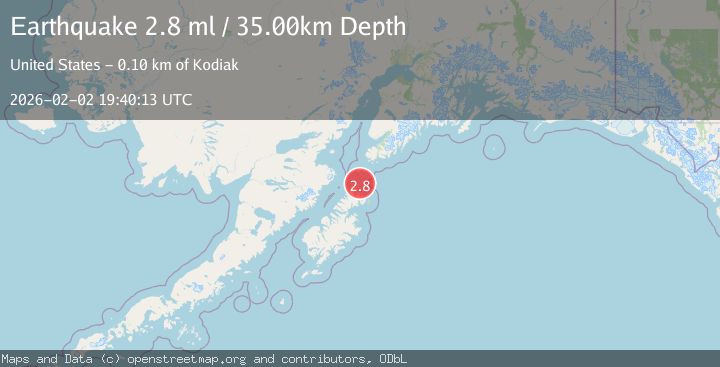
A 2.8 magnitude earthquake struck on 76 km NNE of Aleneva, Alaska, at Mon, 02 Feb 2026 19:40:12 GMT. Depth: 26.9km. Reviewed by USGS seismologists, this minor quake occurred at a magnitude type of ml.
Magnitude
2.8
ml
Source
USGS
Intensity
-
Agency Reports
1 Sources| Source | Magnitude | Depth | Time |
|---|---|---|---|
| USGSPrimary | 2.8 | 27 km | 3 hours ago |
Earthquake Details
AutomaticEvent IDusgs_ak2026cigjeo
Tsunami PotentialNo
Magnitude Typeml
Nearest Places
- Point Banks6.3 km
- Sentinel Rock7.3 km
- Back Bay8.4 km
- Shuyak Radio Communication Center8.7 km
- Perevalnie Islands8.8 km
Comments
Join the discussion about this event.
Latest Earthquakes
3.3Mag
KODIAK ISLAND REGION, ALASKA
Time3 hours ago
Depth19.20 km
SourceAK (Automatic)
2.4Mag
40 km SSE of Chickaloon, Alaska
Time3 hours ago
Depth21.00 km
SourceUSGS (Automatic)
1.7Mag
4 km ESE of San Ramon, CA
Time3 hours ago
Depth4.23 km
SourceUSGS (Automatic)
4.2Mag
Sumbawa Region, Indonesia
Time3 hours ago
Depth10.00 km
SourceBMKG (Automatic)
0.7Mag
5 km NNW of The Geysers, CA
Time3 hours ago
Depth1.68 km
SourceUSGS (Automatic)
Nearby Earthquakes
3.3Mag
KODIAK ISLAND REGION, ALASKA
Time3 hours ago
Depth19.20 km
SourceAK (Automatic)
3.6Mag
78 km SW of Nanwalek, Alaska
Time1 week ago
Depth30.20 km
SourceUSGS (Automatic)
3.8Mag
KODIAK ISLAND REGION, ALASKA
Time1 week ago
Depth68.20 km
SourceAK (Automatic)
2.0Mag
61 km NNW of Aleneva, Alaska
Time1 week ago
Depth61.80 km
SourceUSGS (Automatic)
2.7Mag
15 km SSW of Nanwalek, Alaska
Time1 week ago
Depth43.50 km
SourceUSGS