Earthquake BANDA SEA
Tue, 20 Jan 2009 10:46:54 GMT
Time17 years ago
Location
-4.6800, 129.7700
Depth
159.0 KM
Event Summary
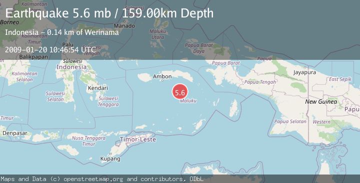
A 5.6 magnitude earthquake struck on BANDA SEA, at Tue, 20 Jan 2009 10:46:54 GMT. Depth: 159km. Reviewed by EMSC seismologists, this moderate quake occurred at a magnitude type of mb.
Magnitude
5.6
mb
Source
EMSC
Intensity
-
Agency Reports
1 Sources| Source | Magnitude | Depth | Time |
|---|---|---|---|
| EMSCPrimary | 5.6 | 159 km | 17 years ago |
Earthquake Details
AutomaticEvent IDemsc_EMSC_20090120_0000058
Tsunami PotentialNo
Magnitude Typemb
Nearest Places
- Cagar Alam / Taman Laut Banda14.9 km
- Tanjung Batu Udang15.8 km
- Tanjung Lokon16.5 km
- Gunung Gandulang16.6 km
- Pulau Run16.8 km
Comments
Join the discussion about this event.
Latest Earthquakes
2.4Mag
Kodiak Island region, Alaska
Time19 hours ago
Depth54.08 km
SourceVYT (Automatic)
1.9Mag
Central Alaska
Time19 hours ago
Depth173.71 km
SourceVYT (Automatic)
2.8Mag
Halmahera, Indonesia
Time19 hours ago
Depth227.35 km
SourceBMKG
3.4Mag
Halmahera, Indonesia
Time19 hours ago
Depth144.90 km
SourceVYT (Automatic)
1.6Mag
36 km NW of Mentone, Texas
Time19 hours ago
Depth9.77 km
SourceUSGS (Automatic)
Nearby Earthquakes
3.1Mag
BANDA SEA
Time1 month ago
Depth210.00 km
SourceBMKG (Automatic)
3.0Mag
BANDA SEA
Time7 years ago
Depth10.00 km
SourceDJA (Automatic)
4.0Mag
BANDA SEA
Time6 years ago
Depth172.00 km
SourceDJA (Automatic)
4.0Mag
BANDA SEA
Time5 years ago
Depth180.00 km
SourceDJA (Automatic)
5.4Mag
BANDA SEA
Time17 years ago
Depth30.00 km
SourceEMSC (Automatic)