Earthquake MOLUCCA SEA
Wed, 11 Feb 2009 04:17:32 GMT
Time17 years ago
Location
-0.0500, 124.4900
Depth
76.0 KM
Event Summary
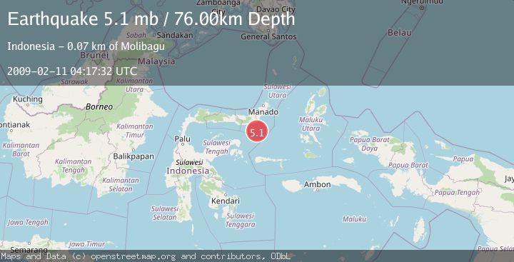
A 5.1 magnitude earthquake struck on MOLUCCA SEA, at Wed, 11 Feb 2009 04:17:32 GMT. Depth: 76km. Reviewed by EMSC seismologists, this moderate quake occurred at a magnitude type of mb.
Magnitude
5.1
mb
Source
EMSC
Intensity
-
Agency Reports
1 Sources| Source | Magnitude | Depth | Time |
|---|---|---|---|
| EMSCPrimary | 5.1 | 76 km | 17 years ago |
Earthquake Details
AutomaticEvent IDemsc_EMSC_20090211_0000077
Tsunami PotentialNo
Magnitude Typemb
Nearest Places
- Libuton Pondanmointok54.3 km
- Pulau-pulau Batutolu54.5 km
- Tanjung Bokka54.6 km
- Libuton Pondanmoloben54.8 km
- Impoda Bulu54.9 km
Comments
Join the discussion about this event.
Latest Earthquakes
2.4Mag
Sulawesi, Indonesia
Time9 minutes ago
Depth4.26 km
SourceBMKG
2.2Mag
Northern Sumatra, Indonesia
Time13 minutes ago
Depth8.25 km
SourceBMKG
2.5Mag
CRETE, GREECE
Time20 minutes ago
Depth17.50 km
SourceNOA (Automatic)
2.5Mag
Tarapaca, Chile
Time24 minutes ago
Depth112.55 km
SourceVYT (Automatic)
2.0Mag
ALBANIA
Time25 minutes ago
Depth15.00 km
SourceIGEO (Automatic)
Nearby Earthquakes
3.0Mag
MOLUCCA SEA
Time10 months ago
Depth14.00 km
SourceBMKG (Automatic)
4.0Mag
MOLUCCA SEA
Time6 years ago
Depth10.00 km
SourceDJA (Automatic)
3.3Mag
MOLUCCA SEA
Time1 month ago
Depth11.00 km
SourceBMKG (Automatic)
3.0Mag
MOLUCCA SEA
Time2 years ago
Depth25.00 km
SourceDJA (Automatic)
4.0Mag
MOLUCCA SEA
Time6 years ago
Depth10.00 km
SourceDJA (Automatic)