Earthquake KERMADEC ISLANDS REGION
Wed, 18 Feb 2009 21:53:49 GMT
Time17 years ago
Location
-27.3000, -176.4000
Depth
60.0 KM
Event Summary
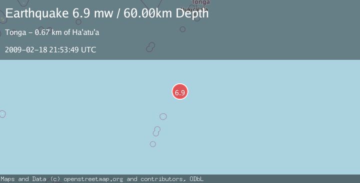
A 6.9 magnitude earthquake struck on KERMADEC ISLANDS REGION, at Wed, 18 Feb 2009 21:53:49 GMT. Depth: 60km. Reviewed by EMSC seismologists, this strong quake occurred at a magnitude type of mw.
Magnitude
6.9
mw
Source
EMSC
Intensity
-
Agency Reports
1 Sources| Source | Magnitude | Depth | Time |
|---|---|---|---|
| EMSCPrimary | 6.9 | 60 km | 17 years ago |
Earthquake Details
AutomaticEvent IDemsc_EMSC_20090218_0000135
Tsunami PotentialNo
Magnitude Typemw
Nearest Places
- 114.0 km
- 136.5 km
- 138.1 km
- 182.3 km
- 209.4 km
Comments
Join the discussion about this event.
Latest Earthquakes
1.9Mag
33 km SW of Skwentna, Alaska
Time3 minutes ago
Depth96.60 km
SourceUSGS (Automatic)
1.4Mag
western Texas
Time4 minutes ago
Depth15.50 km
SourceVYT (Automatic)
2.0Mag
53 km NW of Skwentna, Alaska
Time5 minutes ago
Depth120.60 km
SourceUSGS (Automatic)
2.4Mag
Near North Coast of West Papua
Time5 minutes ago
Depth10.00 km
SourceBMKG
1.5Mag
Southern California
Time5 minutes ago
Depth0.00 km
SourceVYT (Automatic)
Nearby Earthquakes
5.2Mag
KERMADEC ISLANDS REGION
Time10 years ago
Depth40.00 km
SourceEMSC (Automatic)
5.1Mag
KERMADEC ISLANDS REGION
Time10 years ago
Depth60.00 km
SourceEMSC (Automatic)
5.3Mag
KERMADEC ISLANDS REGION
Time2 months ago
Depth40.40 km
SourceEMSC (Automatic)
5.3Mag
KERMADEC ISLANDS REGION
Time16 years ago
Depth10.00 km
SourceEMSC (Automatic)
5.4Mag
KERMADEC ISLANDS REGION
Time2 months ago
Depth40.80 km
SourceEMSC (Automatic)