Earthquake NEAR N COAST OF PAPUA, INDONESIA
Mon, 23 Feb 2009 12:17:54 GMT
Time16 years ago
Location
-0.7300, 133.2800
Depth
40.0 KM
Event Summary
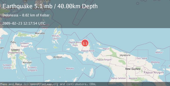
A 5.1 magnitude earthquake struck on NEAR N COAST OF PAPUA, INDONESIA, at Mon, 23 Feb 2009 12:17:54 GMT. Depth: 40km. Reviewed by EMSC seismologists, this moderate quake occurred at a magnitude type of mb.
Magnitude
5.1
mb
Source
EMSC
Intensity
-
Agency Reports
1 Sources| Source | Magnitude | Depth | Time |
|---|---|---|---|
| EMSCPrimary | 5.1 | 40 km | 16 years ago |
Earthquake Details
AutomaticEvent IDemsc_EMSC_20090223_0000051
Tsunami PotentialNo
Magnitude Typemb
Nearest Places
- Kampung Waru1.8 km
- Kampung Bawey3.4 km
- Kampung Marbuan3.4 km
- Kampung Bonpaya3.7 km
- Kampung Meriambeker4.6 km
Comments
Join the discussion about this event.
Latest Earthquakes
3.1Mag
Bali Region, Indonesia
Time13 minutes ago
Depth19.14 km
SourceBMKG
2.7Mag
Coquimbo, Chile
Time15 minutes ago
Depth14.16 km
SourceVYT (Automatic)
1.7Mag
Southeastern Alaska
Time17 minutes ago
Depth5.98 km
SourceVYT (Automatic)
2.1Mag
Tarapaca, Chile
Time18 minutes ago
Depth110.35 km
SourceVYT (Automatic)
2.7Mag
Minahassa Peninsula, Sulawesi
Time19 minutes ago
Depth114.15 km
SourceBMKG
Nearby Earthquakes
5.1Mag
NEAR N COAST OF PAPUA, INDONESIA
Time17 years ago
Depth10.00 km
SourceEMSC (Automatic)
3.0Mag
NEAR N COAST OF PAPUA, INDONESIA
Time5 years ago
Depth21.00 km
SourceDJA (Automatic)
5.3Mag
NEAR N COAST OF PAPUA, INDONESIA
Time17 years ago
Depth48.00 km
SourceEMSC (Automatic)
5.5Mag
NEAR N COAST OF PAPUA, INDONESIA
Time13 years ago
Depth17.00 km
SourceEMSC (Automatic)
2.1Mag
West Papua Region, Indonesia
Time1 week ago
Depth6.00 km
SourceBMKG (Automatic)