Earthquake West Papua Region, Indonesia
Fri, 06 Feb 2026 12:11:09 GMT
Time1 hour ago
Location
-0.7836, 133.2895
Depth
6.0 KM
Event Summary
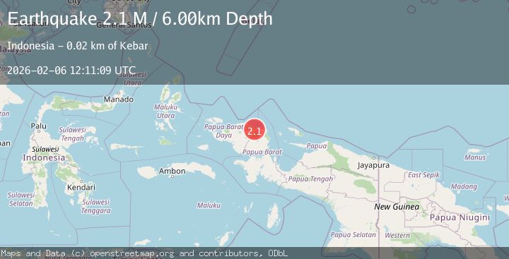
A 2.1 magnitude earthquake struck on West Papua Region, Indonesia, at Fri, 06 Feb 2026 12:11:09 GMT. Depth: 6km. Reviewed by BMKG seismologists, this minor quake occurred at a magnitude type of M.
Magnitude
2.1
M
Source
BMKG
Intensity
-
Agency Reports
1 Sources| Source | Magnitude | Depth | Time |
|---|---|---|---|
| BMKGPrimary | 2.1 | 6 km | 1 hour ago |
Earthquake Details
AutomaticEvent IDbmg2026cosg
Tsunami PotentialNo
Magnitude TypeM
Nearest Places
- Kampung Barona4.2 km
- Gunung Pindawi5.2 km
- Kampung Meyomnar5.4 km
- Kampung Marbuan5.5 km
- Sungai Asimi5.8 km
Comments
Join the discussion about this event.
Latest Earthquakes
2.6Mag
South of Bali, Indonesia
Time9 minutes ago
Depth14.96 km
SourceBMKG (Automatic)
2.6Mag
Seram, Indonesia
Time21 minutes ago
Depth10.00 km
SourceBMKG (Automatic)
2.0Mag
19 km WNW of Susitna, Alaska
Time32 minutes ago
Depth60.10 km
SourceUSGS (Automatic)
1.4Mag
57 km E of Egegik, Alaska
Time39 minutes ago
Depth17.70 km
SourceUSGS (Automatic)
2.6Mag
WESTERN TURKEY
Time42 minutes ago
Depth5.30 km
SourceKOERI (Automatic)
Nearby Earthquakes
2.1Mag
West Papua Region, Indonesia
Time1 week ago
Depth14.74 km
SourceBMKG (Automatic)
2.4Mag
West Papua Region, Indonesia
Time1 week ago
Depth10.00 km
SourceBMKG (Automatic)
2.6Mag
West Papua Region, Indonesia
Time1 week ago
Depth10.93 km
SourceBMKG (Automatic)
2.1Mag
West Papua Region, Indonesia
Time2 weeks ago
Depth10.00 km
SourceBMKG (Automatic)
2.1Mag
West Papua Region, Indonesia
Time2 weeks ago
Depth38.83 km
SourceBMKG (Automatic)