Earthquake NEAR S COAST OF PAPUA, INDONESIA
Fri, 31 Jul 2009 14:09:54 GMT
Time16 years ago
Location
-4.7700, 134.2200
Depth
30.0 KM
Event Summary
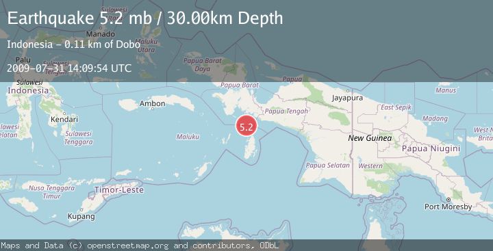
A 5.2 magnitude earthquake struck on NEAR S COAST OF PAPUA, INDONESIA, at Fri, 31 Jul 2009 14:09:54 GMT. Depth: 30km. Reviewed by EMSC seismologists, this moderate quake occurred at a magnitude type of mb.
Magnitude
5.2
mb
Source
EMSC
Intensity
-
Agency Reports
1 Sources| Source | Magnitude | Depth | Time |
|---|---|---|---|
| EMSCPrimary | 5.2 | 30 km | 16 years ago |
Earthquake Details
AutomaticEvent IDemsc_EMSC_20090731_0000086
Tsunami PotentialNo
Magnitude Typemb
Nearest Places
- Aru Basin35.3 km
- Pulau Ngoba71.1 km
- Pulau Toba72.5 km
- Tanjung Watuleijuring73.0 km
- Java Reef73.0 km
Comments
Join the discussion about this event.
Latest Earthquakes
1.2Mag
19 km NNE of Indio, CA
Time2 minutes ago
Depth4.01 km
SourceUSGS (Automatic)
2.5Mag
northwestern Russia
Time5 minutes ago
Depth0.00 km
SourceVYT (Automatic)
1.8Mag
54 km S of Whites City, New Mexico
Time6 minutes ago
Depth6.07 km
SourceUSGS (Automatic)
2.0Mag
Arizona
Time9 minutes ago
Depth8.18 km
SourceVYT (Automatic)
2.9Mag
Bosnia and Herzegovina
Time12 minutes ago
Depth268.68 km
SourceVYT (Automatic)
Nearby Earthquakes
5.0Mag
NEAR S COAST OF PAPUA, INDONESIA
Time14 years ago
Depth2.00 km
SourceEMSC (Automatic)
5.6Mag
NEAR S COAST OF PAPUA, INDONESIA
Time14 years ago
Depth5.00 km
SourceEMSC (Automatic)
5.0Mag
NEAR S COAST OF PAPUA, INDONESIA
Time12 years ago
Depth30.00 km
SourceEMSC (Automatic)
5.1Mag
NEAR S COAST OF PAPUA, INDONESIA
Time5 years ago
Depth10.00 km
SourceEMSC (Automatic)
5.4Mag
NEAR S COAST OF PAPUA, INDONESIA
Time16 years ago
Depth35.00 km
SourceEMSC (Automatic)