Earthquake NEAR S COAST OF PAPUA, INDONESIA
Tue, 16 Jul 2013 17:46:36 GMT
Time12 years ago
Location
-4.8000, 134.1300
Depth
30.0 KM
Event Summary
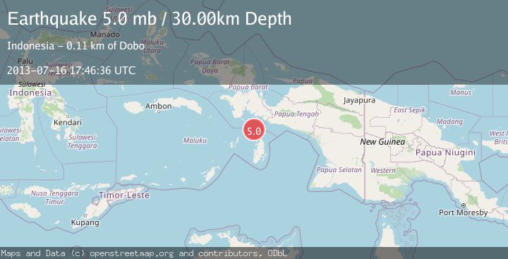
A 5.0 magnitude earthquake struck on NEAR S COAST OF PAPUA, INDONESIA, at Tue, 16 Jul 2013 17:46:36 GMT. Depth: 30km. Reviewed by EMSC seismologists, this moderate quake occurred at a magnitude type of mb.
Magnitude
5.0
mb
Source
EMSC
Intensity
-
Agency Reports
1 Sources| Source | Magnitude | Depth | Time |
|---|---|---|---|
| EMSCPrimary | 5.0 | 30 km | 12 years ago |
Earthquake Details
AutomaticEvent IDemsc_EMSC_20130716_0000055
Tsunami PotentialNo
Magnitude Typemb
Nearest Places
- Aru Basin26.5 km
- Java Reef71.0 km
- Pulau Ngoba73.5 km
- Pulau Toba74.0 km
- Tanjung Watuleijuring76.2 km
Comments
Join the discussion about this event.
Latest Earthquakes
2.1Mag
Poland
Time3 minutes ago
Depth1.95 km
SourceVYT (Automatic)
1.7Mag
2 km NW of Enterprise, Nevada
Time12 minutes ago
Depth15.89 km
SourceUSGS (Automatic)
1.3Mag
Southeastern Alaska
Time13 minutes ago
Depth7.20 km
SourceVYT (Automatic)
0.8Mag
39 km NE of Amboy, Washington
Time15 minutes ago
Depth7.36 km
SourceUSGS (Automatic)
3.5Mag
ANDHRA PRADESH, INDIA
Time19 minutes ago
Depth10.00 km
SourceNDI (Automatic)
Nearby Earthquakes
5.1Mag
NEAR S COAST OF PAPUA, INDONESIA
Time5 years ago
Depth10.00 km
SourceEMSC (Automatic)
5.4Mag
NEAR S COAST OF PAPUA, INDONESIA
Time16 years ago
Depth35.00 km
SourceEMSC (Automatic)
5.6Mag
NEAR S COAST OF PAPUA, INDONESIA
Time14 years ago
Depth5.00 km
SourceEMSC (Automatic)
5.0Mag
NEAR S COAST OF PAPUA, INDONESIA
Time14 years ago
Depth2.00 km
SourceEMSC (Automatic)
5.2Mag
NEAR S COAST OF PAPUA, INDONESIA
Time16 years ago
Depth30.00 km
SourceEMSC (Automatic)