Earthquake KEP. MENTAWAI REGION, INDONESIA
Sun, 16 Aug 2009 20:23:46 GMT
Time16 years ago
Location
-1.3200, 99.5500
Depth
40.0 KM
Event Summary
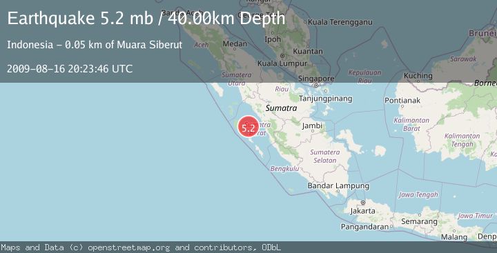
A 5.2 magnitude earthquake struck on KEP. MENTAWAI REGION, INDONESIA, at Sun, 16 Aug 2009 20:23:46 GMT. Depth: 40km. Reviewed by EMSC seismologists, this moderate quake occurred at a magnitude type of mb.
Magnitude
5.2
mb
Source
EMSC
Intensity
-
Agency Reports
1 Sources| Source | Magnitude | Depth | Time |
|---|---|---|---|
| EMSCPrimary | 5.2 | 40 km | 16 years ago |
Earthquake Details
AutomaticEvent IDemsc_EMSC_20090816_0000105
Tsunami PotentialNo
Magnitude Typemb
Nearest Places
- Mentawai Basin20.8 km
- Pulau Kasik43.5 km
- Tanjung Sikabai44.4 km
- Pulau Sabalat44.6 km
- Tanjung Bubulu44.6 km
Comments
Join the discussion about this event.
Latest Earthquakes
1.9Mag
Central Alaska
Time1 hour ago
Depth32.10 km
SourceVYT (Automatic)
3.2Mag
Flores region, Indonesia
Time1 hour ago
Depth20.02 km
SourceVYT (Automatic)
3.1Mag
NORTH ISLAND OF NEW ZEALAND
Time1 hour ago
Depth223.90 km
SourceGNS (Automatic)
4.4Mag
UTTAR PRADESH, INDIA
Time1 hour ago
Depth10.00 km
SourceNDI (Automatic)
2.4Mag
WESTERN TURKEY
Time1 hour ago
Depth9.00 km
SourceKOERI (Automatic)
Nearby Earthquakes
4.1Mag
KEP. MENTAWAI REGION, INDONESIA
Time0 months ago
Depth48.00 km
SourceBMKG (Automatic)
5.2Mag
KEP. MENTAWAI REGION, INDONESIA
Time16 years ago
Depth40.00 km
SourceEMSC (Automatic)
5.0Mag
KEP. MENTAWAI REGION, INDONESIA
Time16 years ago
Depth40.00 km
SourceEMSC (Automatic)
5.5Mag
KEP. MENTAWAI REGION, INDONESIA
Time16 years ago
Depth10.00 km
SourceEMSC (Automatic)
5.2Mag
KEP. MENTAWAI REGION, INDONESIA
Time16 years ago
Depth33.00 km
SourceEMSC (Automatic)